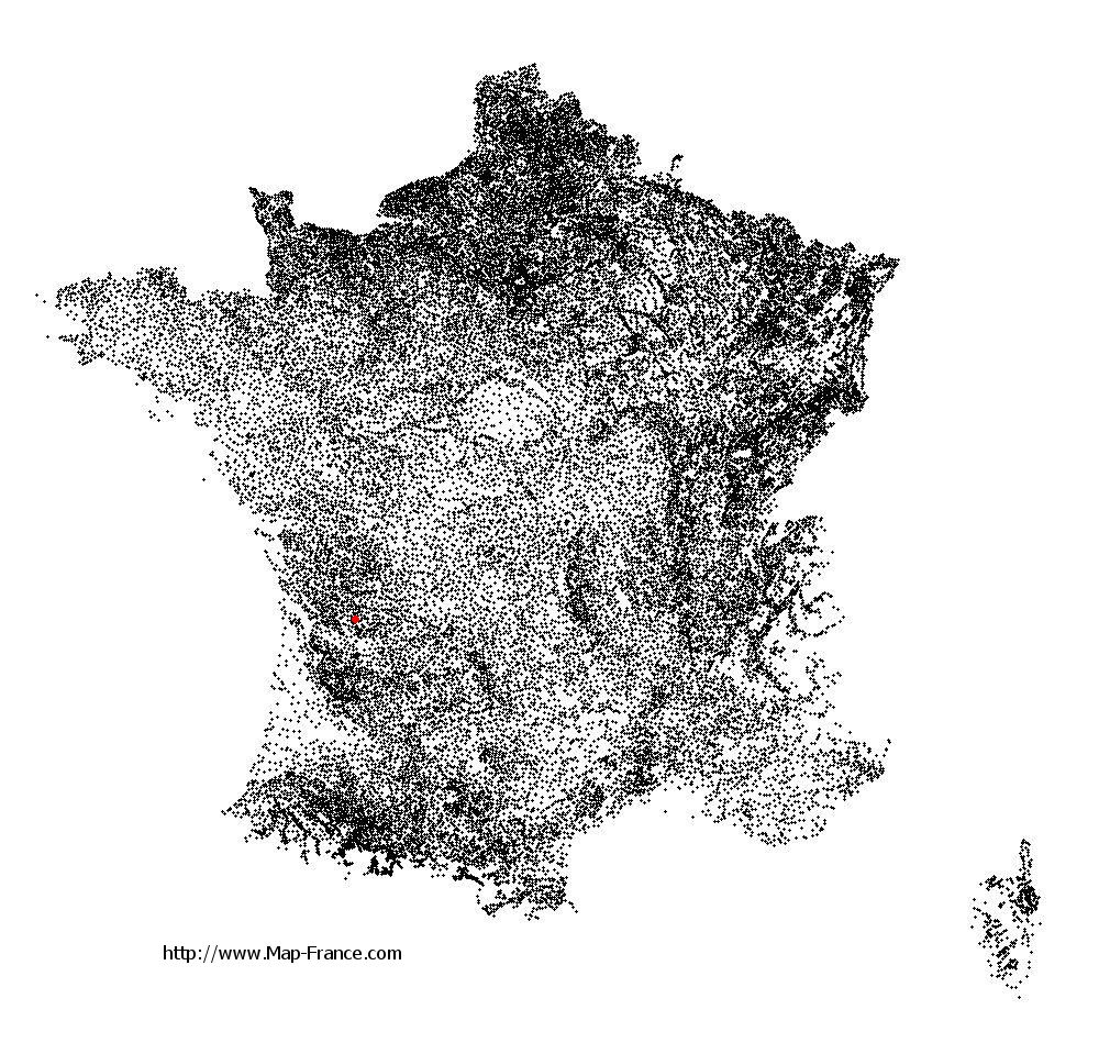
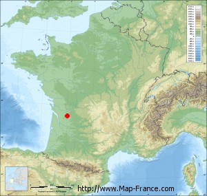
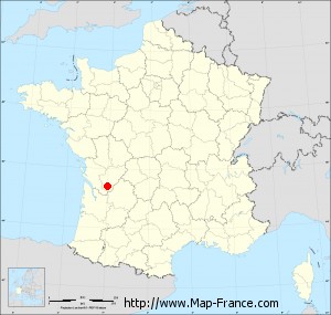
Sainte-Souline on the relief France map in Lambert 93 coordinates
|

See the map of Sainte-Souline in full screen (1000 x 949)
|
At left, here is the location of Sainte-Souline on the relief France map in Lambert 93 coordinates.
Here are the altitudes of Sainte-Souline :
- Town hall altitude of Sainte-Souline is 140 meters
- Minimum altitude of Sainte-Souline is 98 meters
- Maximum altitude of Sainte-Souline is 186 meters
- Medium altitude of Sainte-Souline is 142 meters
Here are the altitudes of Angoulême, prefecture of Charente department:
- Town hall altitude of Angoulême is 86 meters
- Minimum altitude of Angoulême is 25 meters
- Maximum altitude of Angoulême is 130 meters
- Medium altitude of Angoulême is 78 meters
Here are the altitudes of the french biggest cities:
Paris : 33 meters
Marseille : 20 meters
Lyon : 237 meters
Toulouse : 146 meters
Nice : 10 meters
Nantes : 20 meters
Strasbourg : 144 meters
Montpellier : 35 meters
Bordeaux : 16 meters
Lille : 20 meters
Rennes : 35 meters
Reims : 83 meters
Click here for the terrain map of Sainte-Souline in full screen:
Relief map of Sainte-Souline
|
This relief map of Sainte-Souline is reusable and modifiable by making a link to this page of the Map-France.com website or by using the given code :
|
Terrain base map of Sainte-Souline
|

See the terrain base map of Sainte-Souline in full screen (1000 x 949)
|
Small relief base map of Sainte-Souline
|
This base map of Sainte-Souline is reusable and modifiable by making a link to this page of the Map-France.com website or by using the given code :
|
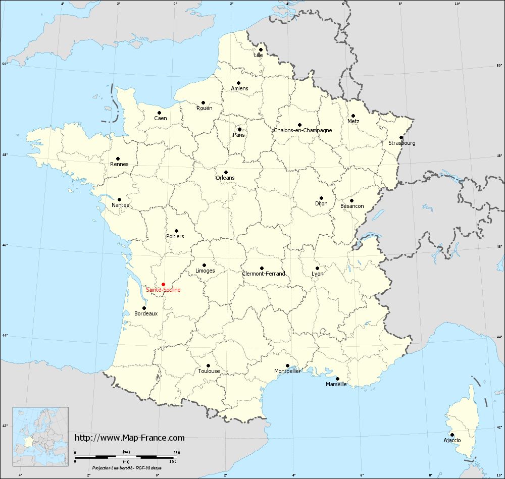
Map of Sainte-Souline with regions and prefectures
|
View the map of Sainte-Souline in full screen (1000 x 949)
|
You will find the location of Sainte-Souline on the map of France of regions in Lambert 93 coordinates. The town of Sainte-Souline is located in the department of Charente of the french region Poitou-Charentes.
Geographical sexagesimal coordinates / GPS (WGS84):
Latitude: 45° 22' 46'' North
Longitude: 00° 00' 59'' West
Geographical decimal coordinates :
Latitude: 45.38 degrees (45.38° North)
Longitude: -0.016 degrees (0.016° West)
Lambert 93 coordinates :
X: 4 640 hectometers
Y: 64 801 hectometers
Lambert 2 coordinates :
X: 4 157 hectometers
Y: 20 449 hectometers
Below, the geographical coordinates of Angoulême, prefecture of the Charente department:
Geographical sexagesimal coordinates / GPS (WGS84):
Latitude: 45° 38' 58'' North
Longitude: 00° 09' 34'' East
Geographical decimal coordinates :
Latitude: 45.653 degrees (45.653° North)
Longitude: 0.155 degrees (0.155° East)
Lambert 93 coordinates :
X: 4 788 hectometers
Y: 65 095 hectometers
Lambert 2 coordinates :
X: 4 303 hectometers
Y: 20 745 hectometers
|
This map of Sainte-Souline is reusable and modifiable by making a link to this page of the Map-France.com website or by using the given code :
|
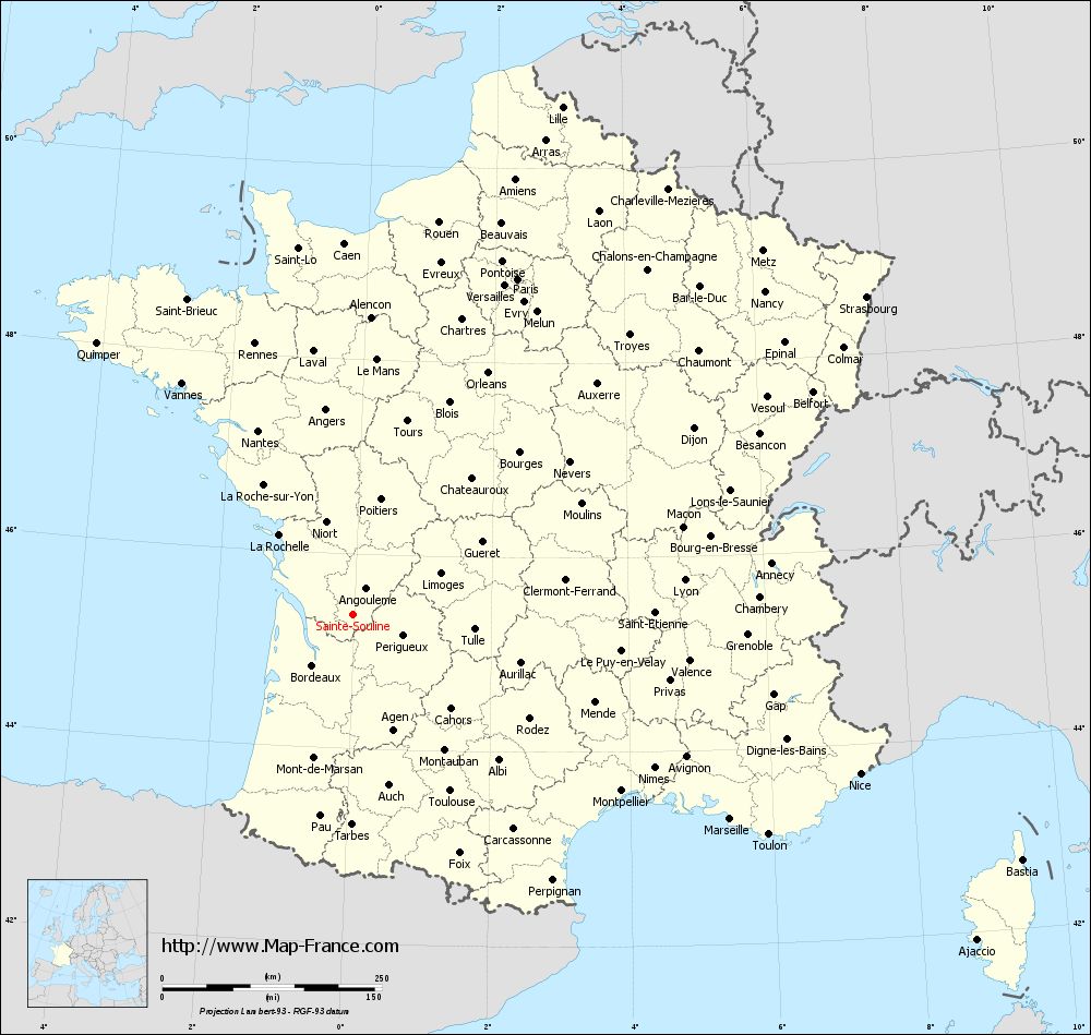
Map of Sainte-Souline with departments and prefectures
|
Voir la carte of Sainte-Souline en grand format (1000 x 949)
|
Here is the localization of Sainte-Souline on the France map of departments in Lambert 93 coordinates. The city of Sainte-Souline is shown on the map by a red point.
The town of Sainte-Souline is located in the department of Charente of the french region Poitou-Charentes.
The latitude of Sainte-Souline is 45.38 degrees North.
The longitude of Sainte-Souline is 0.016 degrees West.
Here the distance between Sainte-Souline and the biggest cities of France:
Distances are calculated as the crow flies (orthodromic distance)
Distance between Sainte-Souline and Paris : 425.88 kilometers
Distance between Sainte-Souline and Marseille : 488.46 kilometers
Distance between Sainte-Souline and Lyon : 379.56 kilometers
Distance between Sainte-Souline and Toulouse : 229.4 kilometers
Distance between Sainte-Souline and Nice : 605.35 kilometers
Distance between Sainte-Souline and Nantes : 235.96 kilometers
Distance between Sainte-Souline and Strasbourg : 687.81 kilometers
Distance between Sainte-Souline and Montpellier : 365.7 kilometers
Distance between Sainte-Souline and Bordeaux : 74.06 kilometers
Distance between Sainte-Souline and Lille : 625.74 kilometers
Distance between Sainte-Souline and Rennes : 328.45 kilometers
Distance between Sainte-Souline and Reims : 527.61 kilometers
Clic here to see the map of Sainte-Souline in full screen:
Sainte-Souline on the map of french departments
|
This administrative map of Sainte-Souline is reusable and modifiable by making a link to this page of the Map-France.com website or by using the given code :
|
Administrative base maps of Sainte-Souline
|

See the administrative base map of Sainte-Souline in full screen (1000 x 949)
|
Small administrative base map of Sainte-Souline
|
This base map administrative of Sainte-Souline is reusable and modifiable by making a link to this page of the Map-France.com website or by using the given code :
|
 French Version : http://www.cartesfrance.fr