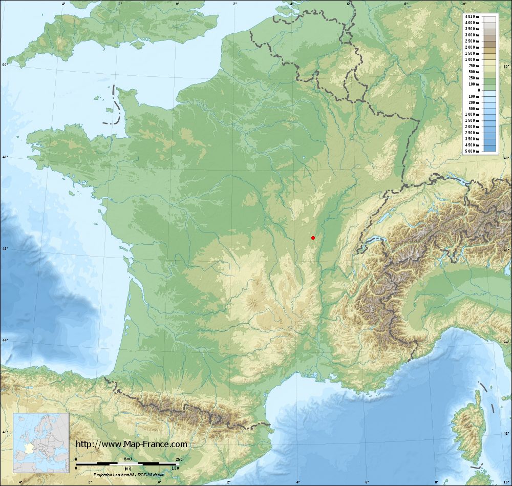
Salornay-sur-Guye on the relief France map in Lambert 93 coordinates
|

See the map of Salornay-sur-Guye in full screen (1000 x 949)
|
At left, here is the location of Salornay-sur-Guye on the relief France map in Lambert 93 coordinates.
Here are the altitudes of Salornay-sur-Guye :
- Town hall altitude of Salornay-sur-Guye is 210 meters
- Minimum altitude of Salornay-sur-Guye is 202 meters
- Maximum altitude of Salornay-sur-Guye is 412 meters
- Medium altitude of Salornay-sur-Guye is 307 meters
Here are the altitudes of Mâcon, prefecture of Saône-et-Loire department:
- Town hall altitude of Mâcon is 190 meters
- Minimum altitude of Mâcon is 167 meters
- Maximum altitude of Mâcon is 347 meters
- Medium altitude of Mâcon is 257 meters
Here are the altitudes of the french biggest cities:
Paris : 33 meters
Marseille : 20 meters
Lyon : 237 meters
Toulouse : 146 meters
Nice : 10 meters
Nantes : 20 meters
Strasbourg : 144 meters
Montpellier : 35 meters
Bordeaux : 16 meters
Lille : 20 meters
Rennes : 35 meters
Reims : 83 meters
Click here for the terrain map of Salornay-sur-Guye in full screen:
Relief map of Salornay-sur-Guye
|
This relief map of Salornay-sur-Guye is reusable and modifiable by making a link to this page of the Map-France.com website or by using the given code :
|
Terrain base map of Salornay-sur-Guye
|
See the terrain base map of Salornay-sur-Guye in full screen (1000 x 949)
|
Small relief base map of Salornay-sur-Guye

|
This base map of Salornay-sur-Guye is reusable and modifiable by making a link to this page of the Map-France.com website or by using the given code :
|
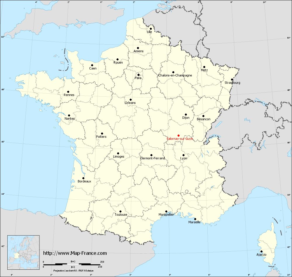
Map of Salornay-sur-Guye with regions and prefectures
|
View the map of Salornay-sur-Guye in full screen (1000 x 949)
|
You will find the location of Salornay-sur-Guye on the map of France of regions in Lambert 93 coordinates. The town of Salornay-sur-Guye is located in the department of Saône-et-Loire of the french region Bourgogne.
Geographical sexagesimal coordinates / GPS (WGS84):
Latitude: 46° 31' 09'' North
Longitude: 04° 35' 48'' East
Geographical decimal coordinates :
Latitude: 46.518 degrees (46.518° North)
Longitude: 4.596 degrees (4.596° East)
Lambert 93 coordinates :
X: 8 224 hectometers
Y: 66 034 hectometers
Lambert 2 coordinates :
X: 7 734 hectometers
Y: 21 713 hectometers
Below, the geographical coordinates of Mâcon, prefecture of the Saône-et-Loire department:
Geographical sexagesimal coordinates / GPS (WGS84):
Latitude: 46° 18' 24'' North
Longitude: 04° 49' 55'' East
Geographical decimal coordinates :
Latitude: 46.308 degrees (46.308° North)
Longitude: 4.831 degrees (4.831° East)
Lambert 93 coordinates :
X: 8 410 hectometers
Y: 65 802 hectometers
Lambert 2 coordinates :
X: 7 922 hectometers
Y: 21 482 hectometers
|
This map of Salornay-sur-Guye is reusable and modifiable by making a link to this page of the Map-France.com website or by using the given code :
|
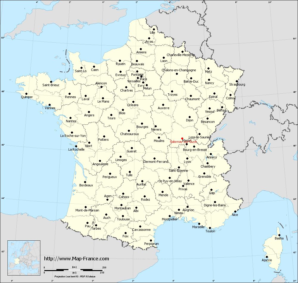
Map of Salornay-sur-Guye with departments and prefectures
|
Voir la carte of Salornay-sur-Guye en grand format (1000 x 949)
|
Here is the localization of Salornay-sur-Guye on the France map of departments in Lambert 93 coordinates. The city of Salornay-sur-Guye is shown on the map by a red point.
The town of Salornay-sur-Guye is located in the department of Saône-et-Loire of the french region Bourgogne.
The latitude of Salornay-sur-Guye is 46.518 degrees North.
The longitude of Salornay-sur-Guye is 4.596 degrees East.
Here the distance between Salornay-sur-Guye and the biggest cities of France:
Distances are calculated as the crow flies (orthodromic distance)
Distance between Salornay-sur-Guye and Paris : 309.92 kilometers
Distance between Salornay-sur-Guye and Marseille : 363.39 kilometers
Distance between Salornay-sur-Guye and Lyon : 86.25 kilometers
Distance between Salornay-sur-Guye and Toulouse : 407.48 kilometers
Distance between Salornay-sur-Guye and Nice : 375.87 kilometers
Distance between Salornay-sur-Guye and Nantes : 473.49 kilometers
Distance between Salornay-sur-Guye and Strasbourg : 329.84 kilometers
Distance between Salornay-sur-Guye and Montpellier : 328.18 kilometers
Distance between Salornay-sur-Guye and Bordeaux : 442.37 kilometers
Distance between Salornay-sur-Guye and Lille : 470.62 kilometers
Distance between Salornay-sur-Guye and Rennes : 504.54 kilometers
Distance between Salornay-sur-Guye and Reims : 307.29 kilometers
Clic here to see the map of Salornay-sur-Guye in full screen:
Salornay-sur-Guye on the map of french departments
|
This administrative map of Salornay-sur-Guye is reusable and modifiable by making a link to this page of the Map-France.com website or by using the given code :
|
Administrative base maps of Salornay-sur-Guye
|

See the administrative base map of Salornay-sur-Guye in full screen (1000 x 949)
|
Small administrative base map of Salornay-sur-Guye
|
This base map administrative of Salornay-sur-Guye is reusable and modifiable by making a link to this page of the Map-France.com website or by using the given code :
|
 French Version : http://www.cartesfrance.fr