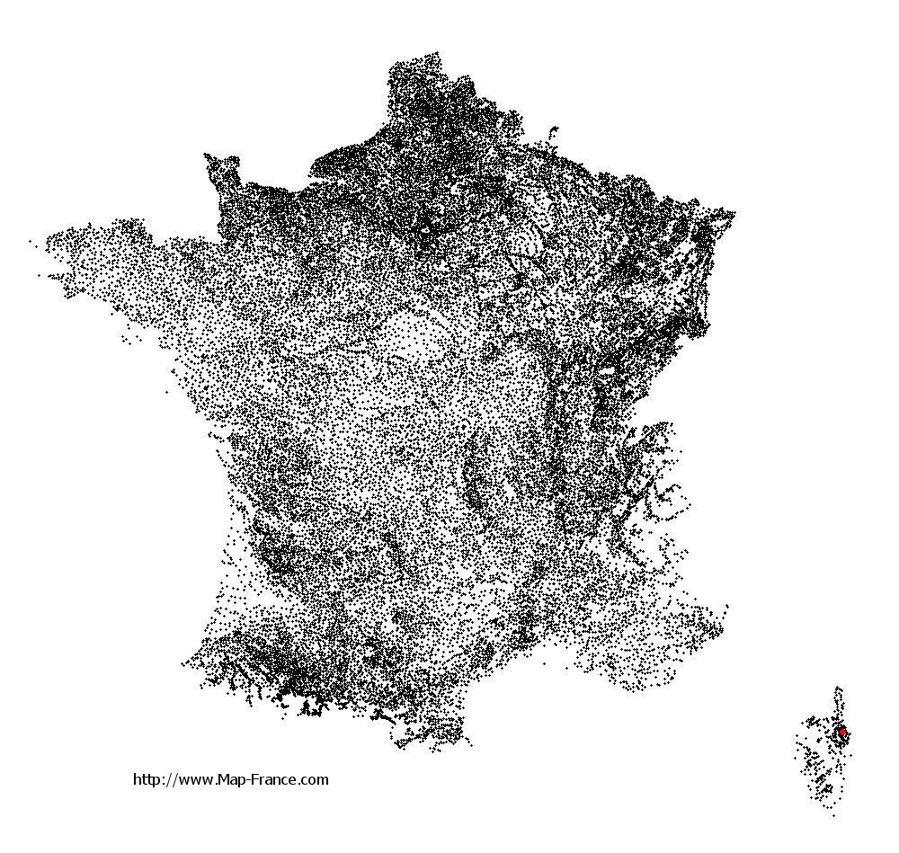
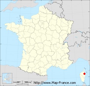
San-Damiano on the relief France map in Lambert 93 coordinates
|

See the map of San-Damiano in full screen (1000 x 949)
|
At left, here is the location of San-Damiano on the relief France map in Lambert 93 coordinates.
Here are the altitudes of San-Damiano :
- Town hall altitude of San-Damiano is 749 meters
- Minimum altitude of San-Damiano is 242 meters
- Maximum altitude of San-Damiano is 1 185 meters
- Medium altitude of San-Damiano is 714 meters
Here are the altitudes of Bastia, prefecture of Haute-Corse department:
- Town hall altitude of Bastia is 20 meters
- Minimum altitude of Bastia is 0 meters
- Maximum altitude of Bastia is 963 meters
- Medium altitude of Bastia is 482 meters
Here are the altitudes of the french biggest cities:
Paris : 33 meters
Marseille : 20 meters
Lyon : 237 meters
Toulouse : 146 meters
Nice : 10 meters
Nantes : 20 meters
Strasbourg : 144 meters
Montpellier : 35 meters
Bordeaux : 16 meters
Lille : 20 meters
Rennes : 35 meters
Reims : 83 meters
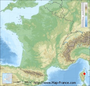
Click here for the terrain map of San-Damiano in full screen:
Relief map of San-Damiano
|
This relief map of San-Damiano is reusable and modifiable by making a link to this page of the Map-France.com website or by using the given code :
|
Terrain base map of San-Damiano
|

See the terrain base map of San-Damiano in full screen (1000 x 949)
|
Small relief base map of San-Damiano
|
This base map of San-Damiano is reusable and modifiable by making a link to this page of the Map-France.com website or by using the given code :
|
Map of San-Damiano with regions and prefectures
|
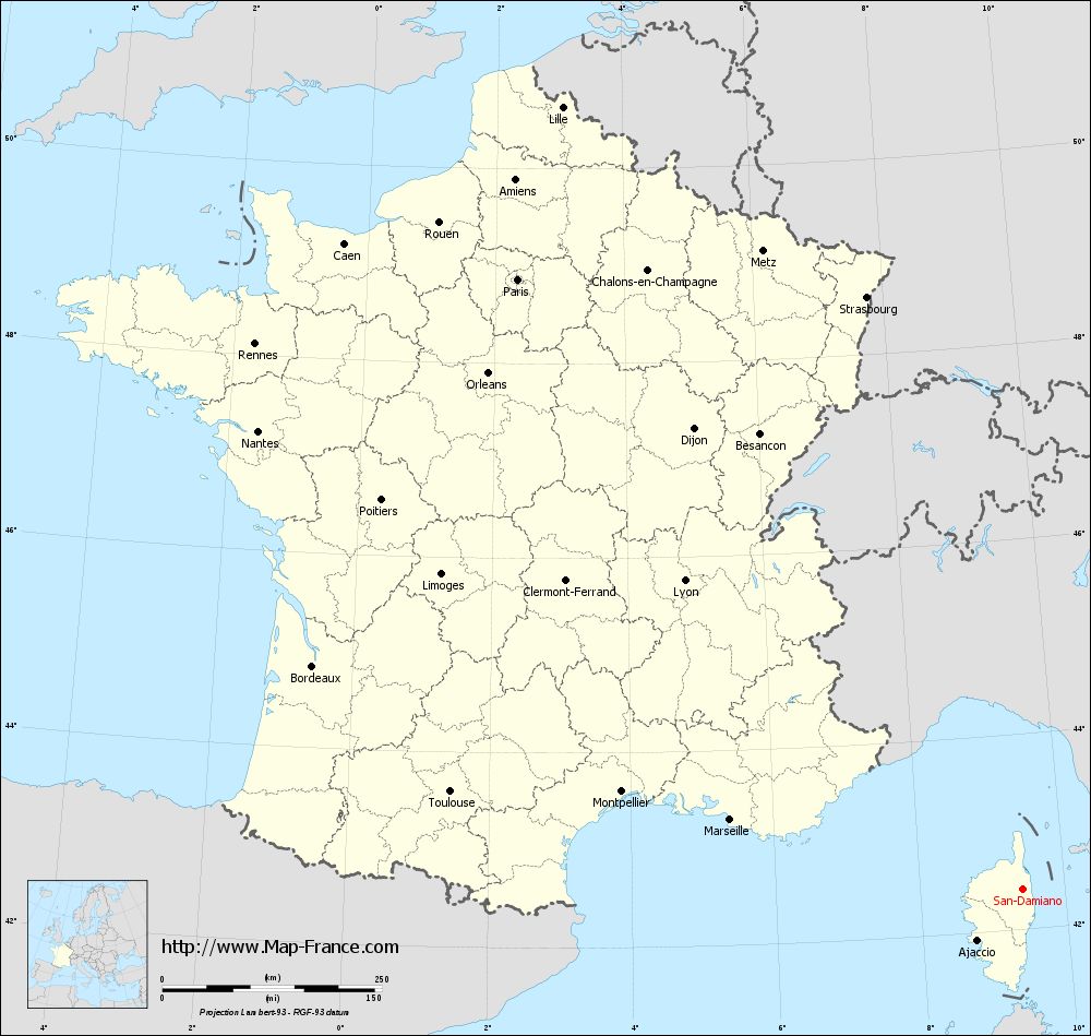
View the map of San-Damiano in full screen (1000 x 949)
|
You will find the location of San-Damiano on the map of France of regions in Lambert 93 coordinates. The town of San-Damiano is located in the department of Haute-Corse of the french region Corse.
Geographical sexagesimal coordinates / GPS (WGS84):
Latitude: 42° 24' 42'' North
Longitude: 09° 24' 46'' East
Geographical decimal coordinates :
Latitude: 42.41 degrees (42.41° North)
Longitude: 9.413 degrees (9.413° East)
Lambert 93 coordinates :
X: 12 281 hectometers
Y: 61 672 hectometers
Lambert 2 coordinates :
X: 11 833 hectometers
Y: 17 382 hectometers
Below, the geographical coordinates of Bastia, prefecture of the Haute-Corse department:
Geographical sexagesimal coordinates / GPS (WGS84):
Latitude: 42° 41' 60'' North
Longitude: 09° 26' 58'' East
Geographical decimal coordinates :
Latitude: 42.694 degrees (42.694° North)
Longitude: 9.447 degrees (9.447° East)
Lambert 93 coordinates :
X: 12 285 hectometers
Y: 61 994 hectometers
Lambert 2 coordinates :
X: 11 834 hectometers
Y: 17 705 hectometers
|
This map of San-Damiano is reusable and modifiable by making a link to this page of the Map-France.com website or by using the given code :
|
Map of San-Damiano with departments and prefectures
|
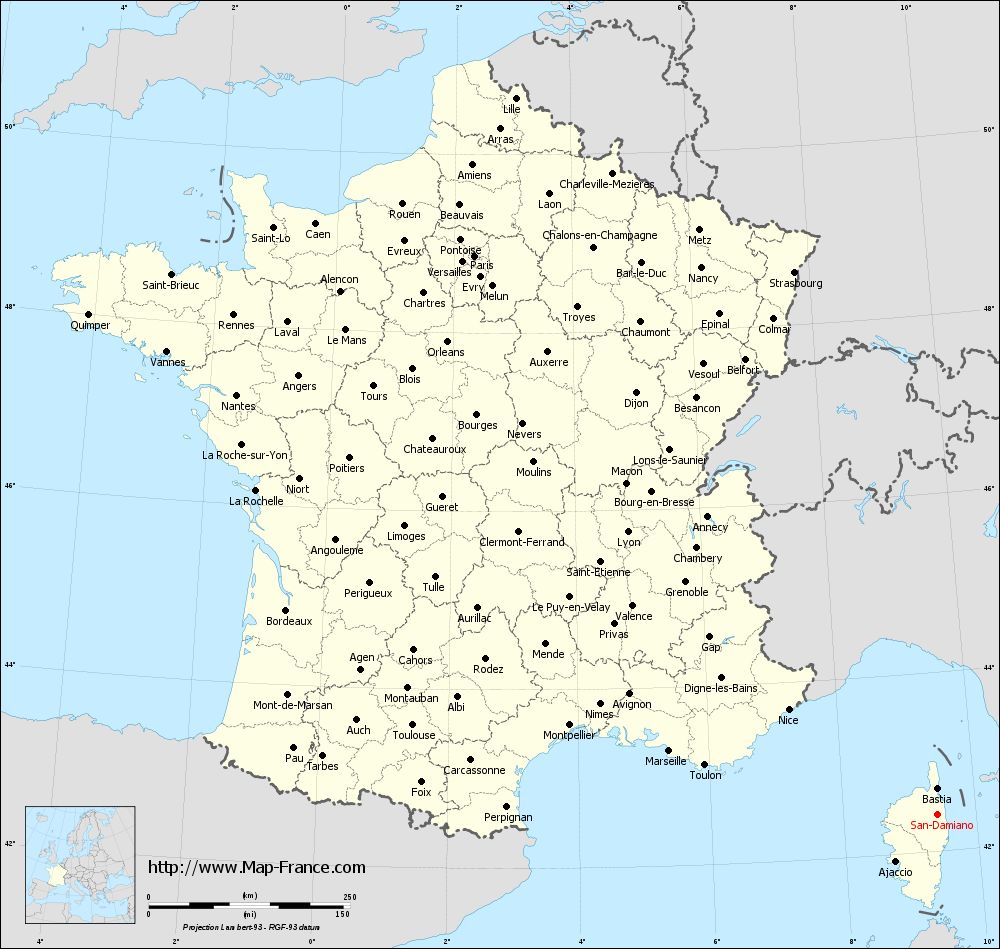
Voir la carte of San-Damiano en grand format (1000 x 949)
|
Here is the localization of San-Damiano on the France map of departments in Lambert 93 coordinates. The city of San-Damiano is shown on the map by a red point.
The town of San-Damiano is located in the department of Haute-Corse of the french region Corse.
The latitude of San-Damiano is 42.41 degrees North.
The longitude of San-Damiano is 9.413 degrees East.
Here the distance between San-Damiano and the biggest cities of France:
Distances are calculated as the crow flies (orthodromic distance)
Distance between San-Damiano and Paris : 902.02 kilometers
Distance between San-Damiano and Marseille : 341.38 kilometers
Distance between San-Damiano and Lyon : 521.38 kilometers
Distance between San-Damiano and Toulouse : 660.05 kilometers
Distance between San-Damiano and Nice : 226.3 kilometers
Distance between San-Damiano and Nantes : 1014.78 kilometers
Distance between San-Damiano and Strasbourg : 698.03 kilometers
Distance between San-Damiano and Montpellier : 469.17 kilometers
Distance between San-Damiano and Bordeaux : 846.85 kilometers
Distance between San-Damiano and Lille : 1033.88 kilometers
Distance between San-Damiano and Rennes : 1072.27 kilometers
Distance between San-Damiano and Reims : 866.93 kilometers
Clic here to see the map of San-Damiano in full screen:
San-Damiano on the map of french departments
|
This administrative map of San-Damiano is reusable and modifiable by making a link to this page of the Map-France.com website or by using the given code :
|
Administrative base maps of San-Damiano
|

See the administrative base map of San-Damiano in full screen (1000 x 949)
|
Small administrative base map of San-Damiano
|
This base map administrative of San-Damiano is reusable and modifiable by making a link to this page of the Map-France.com website or by using the given code :
|
 French Version : http://www.cartesfrance.fr