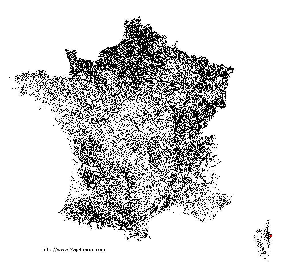
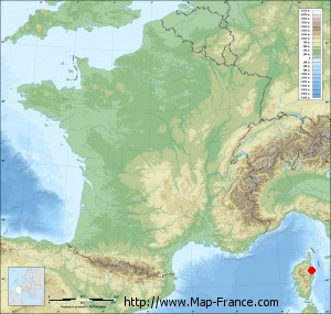
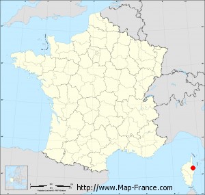
Santa-Maria-Poggio on the relief France map in Lambert 93 coordinates
|

See the map of Santa-Maria-Poggio in full screen (1000 x 949)
|
At left, here is the location of Santa-Maria-Poggio on the relief France map in Lambert 93 coordinates.
Here are the altitudes of Santa-Maria-Poggio :
- Town hall altitude of Santa-Maria-Poggio is 320 meters
- Minimum altitude of Santa-Maria-Poggio is 0 meters
- Maximum altitude of Santa-Maria-Poggio is 1 131 meters
- Medium altitude of Santa-Maria-Poggio is 566 meters
Here are the altitudes of Bastia, prefecture of Haute-Corse department:
- Town hall altitude of Bastia is 20 meters
- Minimum altitude of Bastia is 0 meters
- Maximum altitude of Bastia is 963 meters
- Medium altitude of Bastia is 482 meters
Here are the altitudes of the french biggest cities:
Paris : 33 meters
Marseille : 20 meters
Lyon : 237 meters
Toulouse : 146 meters
Nice : 10 meters
Nantes : 20 meters
Strasbourg : 144 meters
Montpellier : 35 meters
Bordeaux : 16 meters
Lille : 20 meters
Rennes : 35 meters
Reims : 83 meters
Click here for the terrain map of Santa-Maria-Poggio in full screen:
Relief map of Santa-Maria-Poggio
|
This relief map of Santa-Maria-Poggio is reusable and modifiable by making a link to this page of the Map-France.com website or by using the given code :
|
Terrain base map of Santa-Maria-Poggio
|

See the terrain base map of Santa-Maria-Poggio in full screen (1000 x 949)
|
Small relief base map of Santa-Maria-Poggio
|
This base map of Santa-Maria-Poggio is reusable and modifiable by making a link to this page of the Map-France.com website or by using the given code :
|
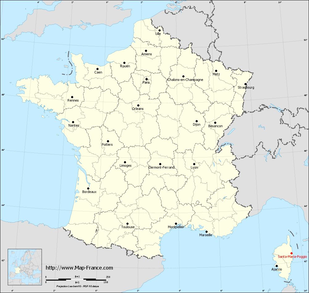
Map of Santa-Maria-Poggio with regions and prefectures
|
View the map of Santa-Maria-Poggio in full screen (1000 x 949)
|
You will find the location of Santa-Maria-Poggio on the map of France of regions in Lambert 93 coordinates. The town of Santa-Maria-Poggio is located in the department of Haute-Corse of the french region Corse.
Geographical sexagesimal coordinates / GPS (WGS84):
Latitude: 42° 20' 46'' North
Longitude: 09° 29' 43'' East
Geographical decimal coordinates :
Latitude: 42.344 degrees (42.344° North)
Longitude: 9.497 degrees (9.497° East)
Lambert 93 coordinates :
X: 12 355 hectometers
Y: 61 605 hectometers
Lambert 2 coordinates :
X: 11 907 hectometers
Y: 17 315 hectometers
Below, the geographical coordinates of Bastia, prefecture of the Haute-Corse department:
Geographical sexagesimal coordinates / GPS (WGS84):
Latitude: 42° 41' 60'' North
Longitude: 09° 26' 58'' East
Geographical decimal coordinates :
Latitude: 42.694 degrees (42.694° North)
Longitude: 9.447 degrees (9.447° East)
Lambert 93 coordinates :
X: 12 285 hectometers
Y: 61 994 hectometers
Lambert 2 coordinates :
X: 11 834 hectometers
Y: 17 705 hectometers
|
This map of Santa-Maria-Poggio is reusable and modifiable by making a link to this page of the Map-France.com website or by using the given code :
|
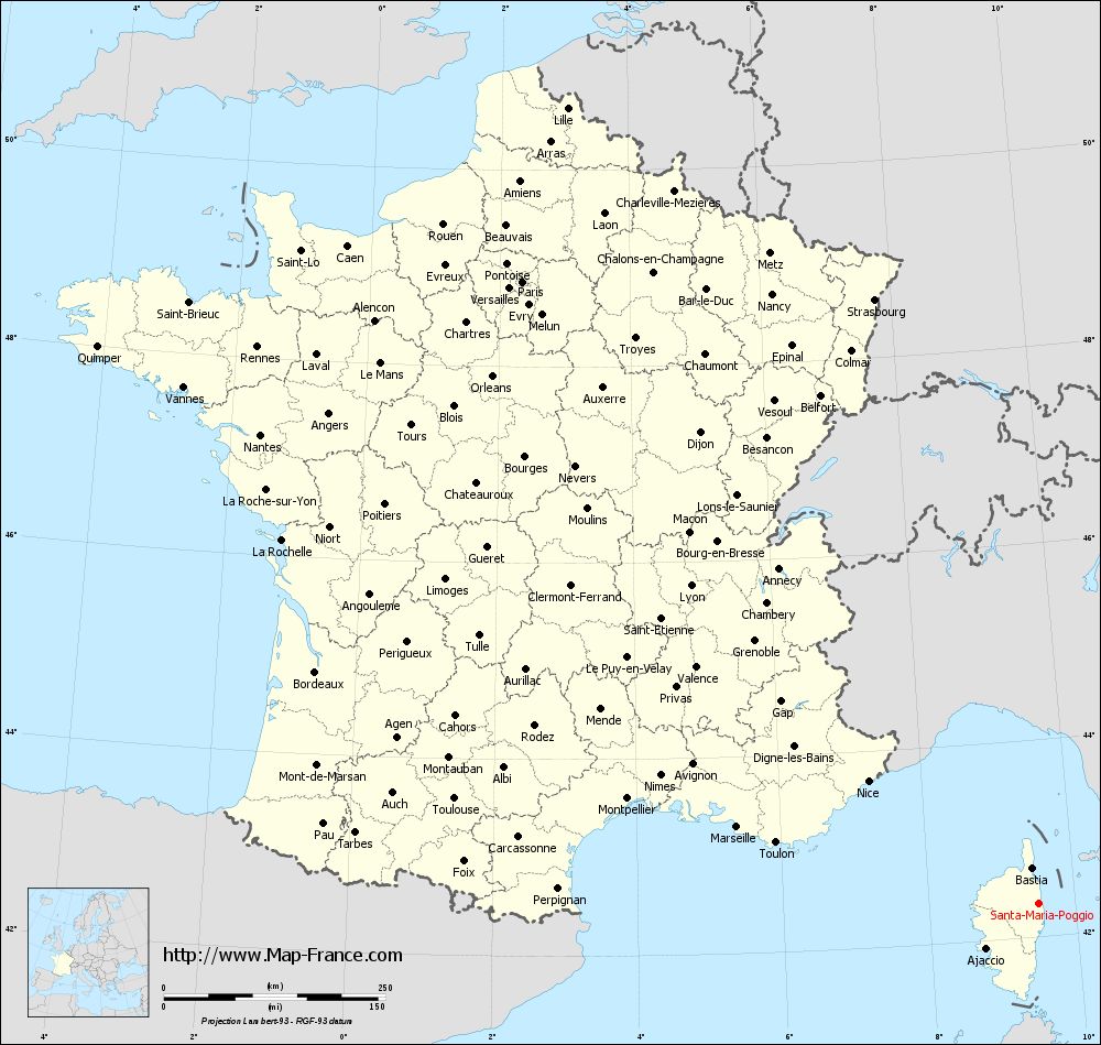
Map of Santa-Maria-Poggio with departments and prefectures
|
Voir la carte of Santa-Maria-Poggio en grand format (1000 x 949)
|
Here is the localization of Santa-Maria-Poggio on the France map of departments in Lambert 93 coordinates. The city of Santa-Maria-Poggio is shown on the map by a red point.
The town of Santa-Maria-Poggio is located in the department of Haute-Corse of the french region Corse.
The latitude of Santa-Maria-Poggio is 42.344 degrees North.
The longitude of Santa-Maria-Poggio is 9.497 degrees East.
Here the distance between Santa-Maria-Poggio and the biggest cities of France:
Distances are calculated as the crow flies (orthodromic distance)
Distance between Santa-Maria-Poggio and Paris : 911.93 kilometers
Distance between Santa-Maria-Poggio and Marseille : 350.26 kilometers
Distance between Santa-Maria-Poggio and Lyon : 531.41 kilometers
Distance between Santa-Maria-Poggio and Toulouse : 668.57 kilometers
Distance between Santa-Maria-Poggio and Nice : 236.28 kilometers
Distance between Santa-Maria-Poggio and Nantes : 1024.64 kilometers
Distance between Santa-Maria-Poggio and Strasbourg : 706.4 kilometers
Distance between Santa-Maria-Poggio and Montpellier : 478.06 kilometers
Distance between Santa-Maria-Poggio and Bordeaux : 856.01 kilometers
Distance between Santa-Maria-Poggio and Lille : 1043.43 kilometers
Distance between Santa-Maria-Poggio and Rennes : 1082.24 kilometers
Distance between Santa-Maria-Poggio and Reims : 876.53 kilometers
Clic here to see the map of Santa-Maria-Poggio in full screen:
Santa-Maria-Poggio on the map of french departments
|
This administrative map of Santa-Maria-Poggio is reusable and modifiable by making a link to this page of the Map-France.com website or by using the given code :
|
Administrative base maps of Santa-Maria-Poggio
|

See the administrative base map of Santa-Maria-Poggio in full screen (1000 x 949)
|
Small administrative base map of Santa-Maria-Poggio
|
This base map administrative of Santa-Maria-Poggio is reusable and modifiable by making a link to this page of the Map-France.com website or by using the given code :
|
 French Version : http://www.cartesfrance.fr