Map of France

Saultain photos


Find a town, a zip code,
a department, a region... in France
I like Map-France.com !


Saultain pictures


Here are the photos of the town of Saultain and nearby towns. Saultain is located in the department of Nord in the region of Nord-Pas-de-Calais. You will find the satellite map of Saultain under these photos.

To see photos of nearby towns of Saultain, you can try the following links :
   - Photo of Curgies (59990) : town located at 1.90 km
   - Photo of Estreux (59990) : town located at 2.01 km
   - Photo of Préseau (59990) : town located at 2.82 km
   - Photo of Marly (59770) : town located at 3.17 km
   - Photo of Aulnoy-lez-Valenciennes (59300) : town located at 3.56 km
   - Photo of Saint-Saulve (59880) : town located at 4.25 km
   - Photo of Jenlain (59144) : town located at 4.45 km
   - Photo of Valenciennes (59300) : town located at 4.51 km
   - Photo of Maresches (59990) : town located at 4.84 km
   - Photo of Famars (59300) : town located at 4.88 km
   - Photo of Sebourg (59990) : town located at 4.95 km
   - Photo of Onnaing (59264) : town located at 5.27 km

 - photos of the department prefecture of Nord : photos of Lille
 - pictures of others cities of Nord : Nord


To see Saultain from the sky, here is the satellite map of the town of Saultain : Saultain map.

I like Saultain !


Photos of the town of Saultain

These photos taken near the town of Saultain can be shown in full screen clicking on the thumbnails. Photos are copyrighted by their owners.

IMG_20240713_213013 - Photo of Saultain
IMG_20240713_213013

Trackbed onwards into France - Gussignies - Photo of Saultain
Trackbed onwards into France - Gussignies

Roisin-Autreppe house by the line at the border - Photo of Saultain
Roisin-Autreppe house by the line at the border

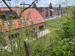
Roisin-Autreppe - house now built on the track bed - Photo of Saultain
Roisin-Autreppe - house now built on the track bed

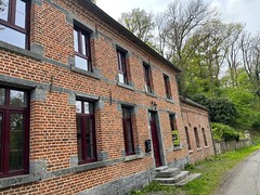
Roisin-Autreppe old station building - Photo of Saultain
Roisin-Autreppe old station building

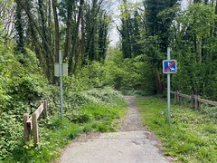
Trackbed near Roisin-Autreppe - Photo of Saultain
Trackbed near Roisin-Autreppe

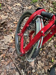
Birdy wheel covered in mud - Photo of Saultain
Birdy wheel covered in mud

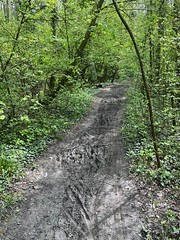
Muddy former track bed - Photo of Saultain
Muddy former track bed

Cycle path back towards Mons - Photo of Saultain
Cycle path back towards Mons

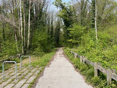
Cycle path ends about 1km from the border - Photo of Saultain
Cycle path ends about 1km from the border

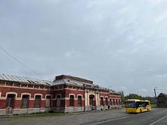
Angre former station - Photo of Saultain
Angre former station

Quiévrain station - tree growing in the desolate building - Photo of Saultain
Quiévrain station - tree growing in the desolate building

End of the platforms, Quiévrain - Photo of Saultain
End of the platforms, Quiévrain

Quiévrain station - street side - Photo of Saultain
Quiévrain station - street side


Saultain from the sky


Old photos of the town of Saultain

These photos taken near the town of Saultain can be shown in full screen clicking on the thumbnails. Photos are copyrighted by their owners.


Other maps, hotels and towns in france


Find another town, zip code, department, region, ...


Quick links Saultain :


Back to the menus Map of France :


Make a link to this page of Saultain with the following code :


Map of France | Regions | Departments | Cities | Partners | Terms | Contact