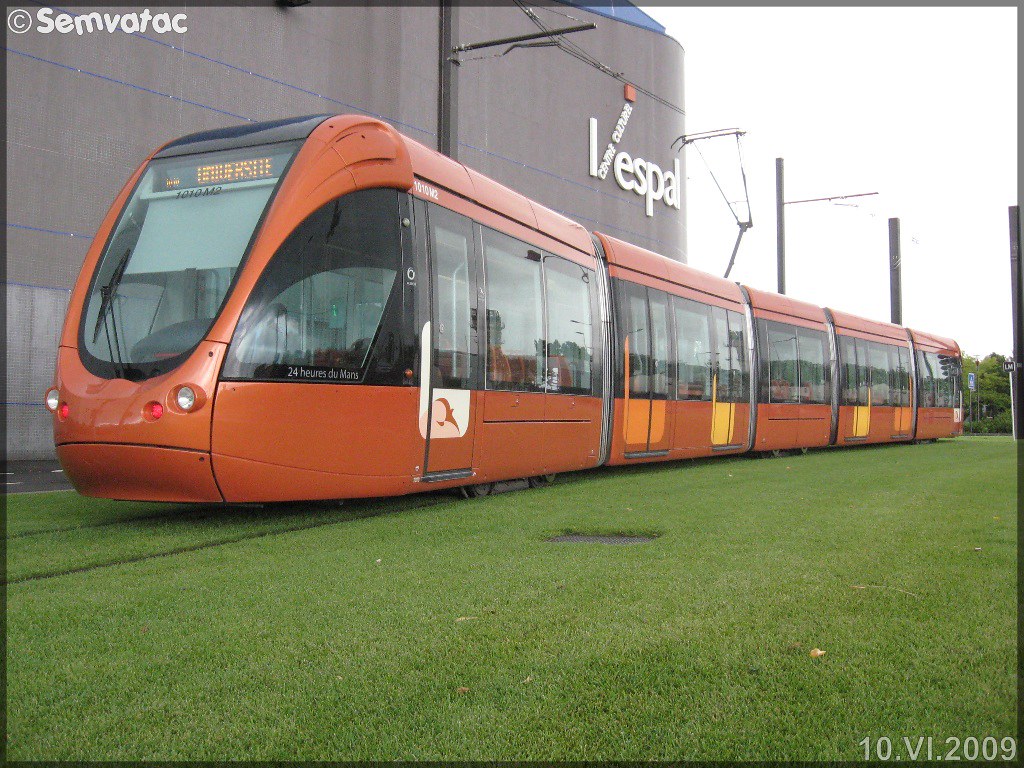
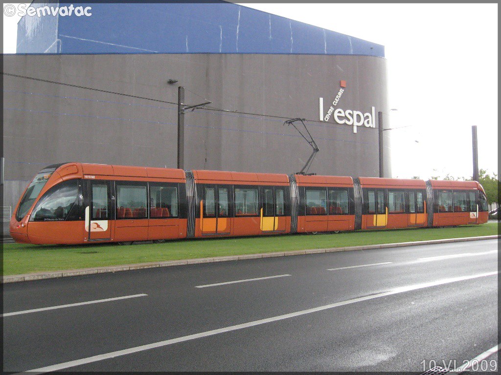
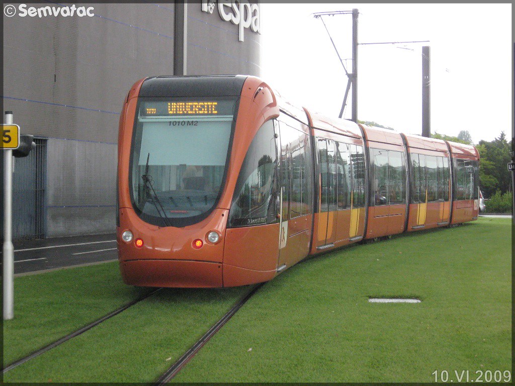
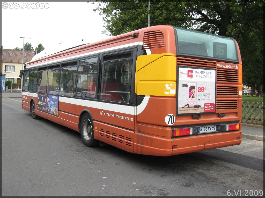
Here are the photos of the city of Savigné-l'Évêque and nearby towns. Savigné-l'Évêque is located in the department of Sarthe in the region of Pays de la Loire. You will find the satellite map of Savigné-l'Évêque under these photos.
To see photos of nearby towns of Savigné-l'Évêque, you can try the following links :
- Photo of Saint-Corneille (72460) : town located at 3.52 km
- Photo of Fatines (72470) : town located at 5.05 km
- Photo of Sillé-le-Philippe (72460) : town located at 5.30 km
- Photo of Champagné (72470) : town located at 6.24 km
- Photo of Sargé-lès-le-Mans (72190) : town located at 6.60 km
- Photo of Courcebœufs (72290) : town located at 6.75 km
- Photo of Joué-l'Abbé (72380) : town located at 7.13 km
- Photo of Yvré-l'Évêque (72530) : town located at 7.19 km
- Photo of Saint-Mars-la-Brière (72470) : town located at 7.59 km
- Photo of Neuville-sur-Sarthe (72190) : town located at 8.12 km
- Photo of Souligné-sous-Ballon (72290) : town located at 8.38 km
- Photo of La Guierche (72380) : town located at 8.59 km
- photos of the department prefecture of Sarthe : photos of Le Mans
- pictures of others cities of Sarthe : Sarthe
To see Savigné-l'Évêque from the sky, here is the satellite map of the city of Savigné-l'Évêque : Savigné-l'Évêque map.
|
|
I like Savigné-l'Évêque !
|
|
|
|
|
|