Signy-Signets on the relief France map in Lambert 93 coordinates
|
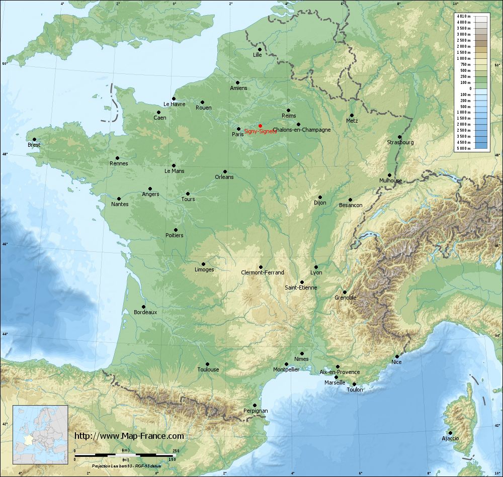
See the map of Signy-Signets in full screen (1000 x 949)
|
At left, here is the location of Signy-Signets on the relief France map in Lambert 93 coordinates.
Here are the altitudes of Signy-Signets :
- Town hall altitude of Signy-Signets is 100 meters
- Minimum altitude of Signy-Signets is 77 meters
- Maximum altitude of Signy-Signets is 172 meters
- Medium altitude of Signy-Signets is 125 meters
Here are the altitudes of Melun, prefecture of Seine-et-Marne department:
- Town hall altitude of Melun is 50 meters
- Minimum altitude of Melun is 37 meters
- Maximum altitude of Melun is 102 meters
- Medium altitude of Melun is 70 meters
Here are the altitudes of the french biggest cities:
Paris : 33 meters
Marseille : 20 meters
Lyon : 237 meters
Toulouse : 146 meters
Nice : 10 meters
Nantes : 20 meters
Strasbourg : 144 meters
Montpellier : 35 meters
Bordeaux : 16 meters
Lille : 20 meters
Rennes : 35 meters
Reims : 83 meters
Click here for the terrain map of Signy-Signets in full screen:
Relief map of Signy-Signets
|
This relief map of Signy-Signets is reusable and modifiable by making a link to this page of the Map-France.com website or by using the given code :
|
Terrain base map of Signy-Signets
|

See the terrain base map of Signy-Signets in full screen (1000 x 949)
|
Small relief base map of Signy-Signets

|
This base map of Signy-Signets is reusable and modifiable by making a link to this page of the Map-France.com website or by using the given code :
|
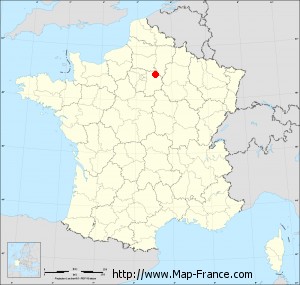
Map of Signy-Signets with regions and prefectures
|
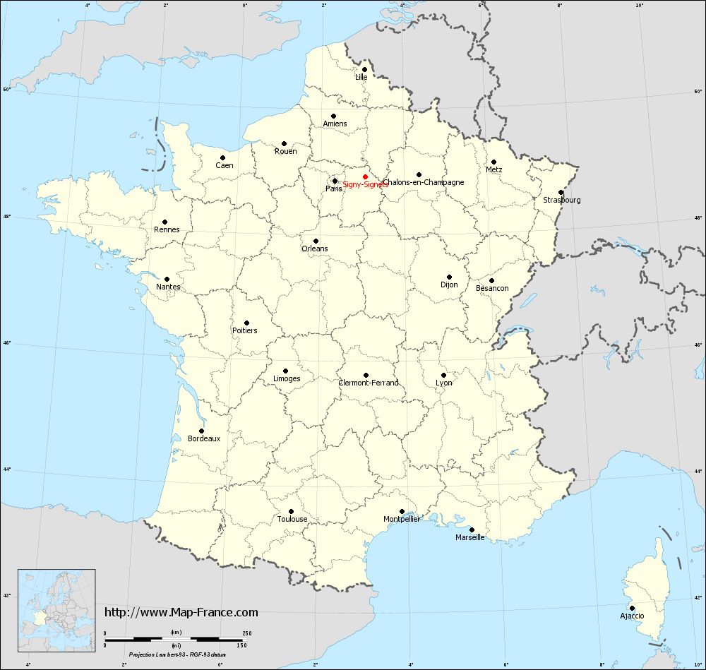
View the map of Signy-Signets in full screen (1000 x 949)
|
You will find the location of Signy-Signets on the map of France of regions in Lambert 93 coordinates. The town of Signy-Signets is located in the department of Seine-et-Marne of the french region Île-de-France.
Geographical sexagesimal coordinates / GPS (WGS84):
Latitude: 48° 55' 40'' North
Longitude: 03° 04' 01'' East
Geographical decimal coordinates :
Latitude: 48.927 degrees (48.927° North)
Longitude: 3.069 degrees (3.069° East)
Lambert 93 coordinates :
X: 7 049 hectometers
Y: 68 698 hectometers
Lambert 2 coordinates :
X: 6 536 hectometers
Y: 24 369 hectometers
Below, the geographical coordinates of Melun, prefecture of the Seine-et-Marne department:
Geographical sexagesimal coordinates / GPS (WGS84):
Latitude: 48° 32' 23'' North
Longitude: 02° 39' 33'' East
Geographical decimal coordinates :
Latitude: 48.541 degrees (48.541° North)
Longitude: 2.657 degrees (2.657° East)
Lambert 93 coordinates :
X: 6 748 hectometers
Y: 68 267 hectometers
Lambert 2 coordinates :
X: 6 238 hectometers
Y: 23 935 hectometers
|
This map of Signy-Signets is reusable and modifiable by making a link to this page of the Map-France.com website or by using the given code :
|
Map of Signy-Signets with departments and prefectures
|
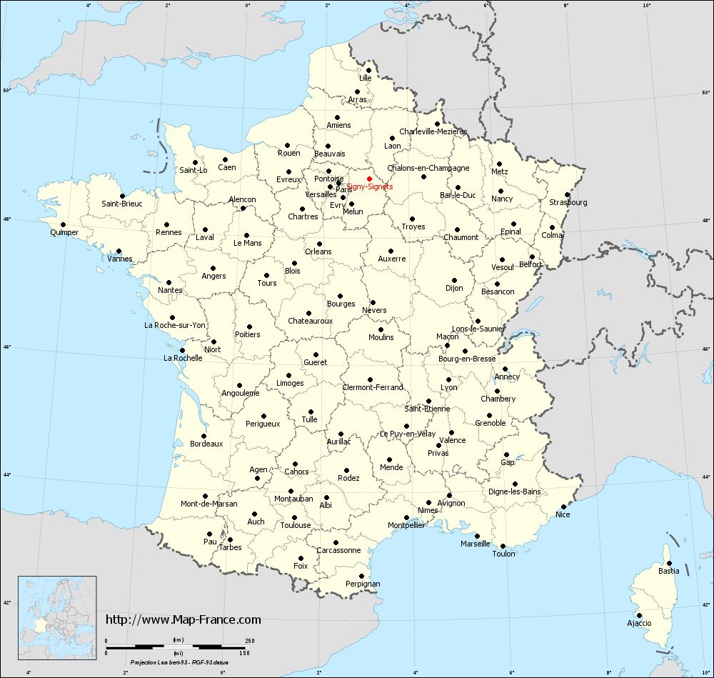
Voir la carte of Signy-Signets en grand format (1000 x 949)
|
Here is the localization of Signy-Signets on the France map of departments in Lambert 93 coordinates. The city of Signy-Signets is shown on the map by a red point.
The town of Signy-Signets is located in the department of Seine-et-Marne of the french region Île-de-France.
The latitude of Signy-Signets is 48.927 degrees North.
The longitude of Signy-Signets is 3.069 degrees East.
Here the distance between Signy-Signets and the biggest cities of France:
Distances are calculated as the crow flies (orthodromic distance)
Distance between Signy-Signets and Paris : 53.35 kilometers
Distance between Signy-Signets and Marseille : 650.66 kilometers
Distance between Signy-Signets and Lyon : 376.16 kilometers
Distance between Signy-Signets and Toulouse : 604.77 kilometers
Distance between Signy-Signets and Nice : 663.11 kilometers
Distance between Signy-Signets and Nantes : 392.09 kilometers
Distance between Signy-Signets and Strasbourg : 345.34 kilometers
Distance between Signy-Signets and Montpellier : 594.12 kilometers
Distance between Signy-Signets and Bordeaux : 531.35 kilometers
Distance between Signy-Signets and Lille : 188.98 kilometers
Distance between Signy-Signets and Rennes : 361.13 kilometers
Distance between Signy-Signets and Reims : 79.07 kilometers
Clic here to see the map of Signy-Signets in full screen:
Signy-Signets on the map of french departments
|
This administrative map of Signy-Signets is reusable and modifiable by making a link to this page of the Map-France.com website or by using the given code :
|
Administrative base maps of Signy-Signets
|

See the administrative base map of Signy-Signets in full screen (1000 x 949)
|
Small administrative base map of Signy-Signets
|
This base map administrative of Signy-Signets is reusable and modifiable by making a link to this page of the Map-France.com website or by using the given code :
|
 French Version : http://www.cartesfrance.fr