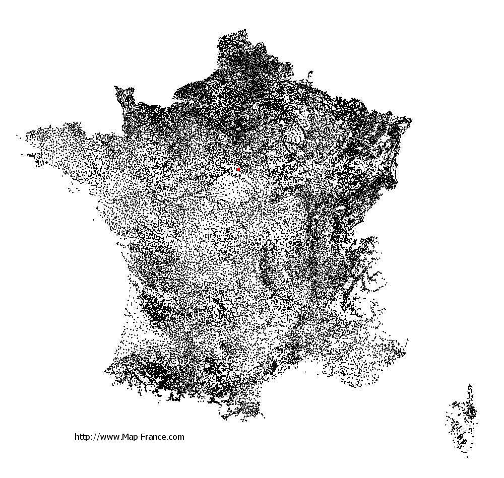
Map of Sury-aux-Bois with regions and prefectures
|
View the map of Sury-aux-Bois in full screen (1000 x 949)
|
You will find the location of Sury-aux-Bois on the map of France of regions in Lambert 93 coordinates. The town of Sury-aux-Bois is located in the department of Loiret of the french region Centre.
Geographical sexagesimal coordinates / GPS (WGS84):
Latitude: 47° 57' 57'' North
Longitude: 02° 20' 31'' East
Geographical decimal coordinates :
Latitude: 47.966 degrees (47.966° North)
Longitude: 2.342 degrees (2.342° East)
Lambert 93 coordinates :
X: 6 509 hectometers
Y: 67 630 hectometers
Lambert 2 coordinates :
X: 6 004 hectometers
Y: 23 296 hectometers
Below, the geographical coordinates of Orléans, prefecture of the Loiret department:
Geographical sexagesimal coordinates / GPS (WGS84):
Latitude: 47° 54' 08'' North
Longitude: 01° 54' 15'' East
Geographical decimal coordinates :
Latitude: 47.904 degrees (47.904° North)
Longitude: 1.907 degrees (1.907° East)
Lambert 93 coordinates :
X: 6 181 hectometers
Y: 67 563 hectometers
Lambert 2 coordinates :
X: 5 677 hectometers
Y: 23 226 hectometers
|
This map of Sury-aux-Bois is reusable and modifiable by making a link to this page of the Map-France.com website or by using the given code :
|
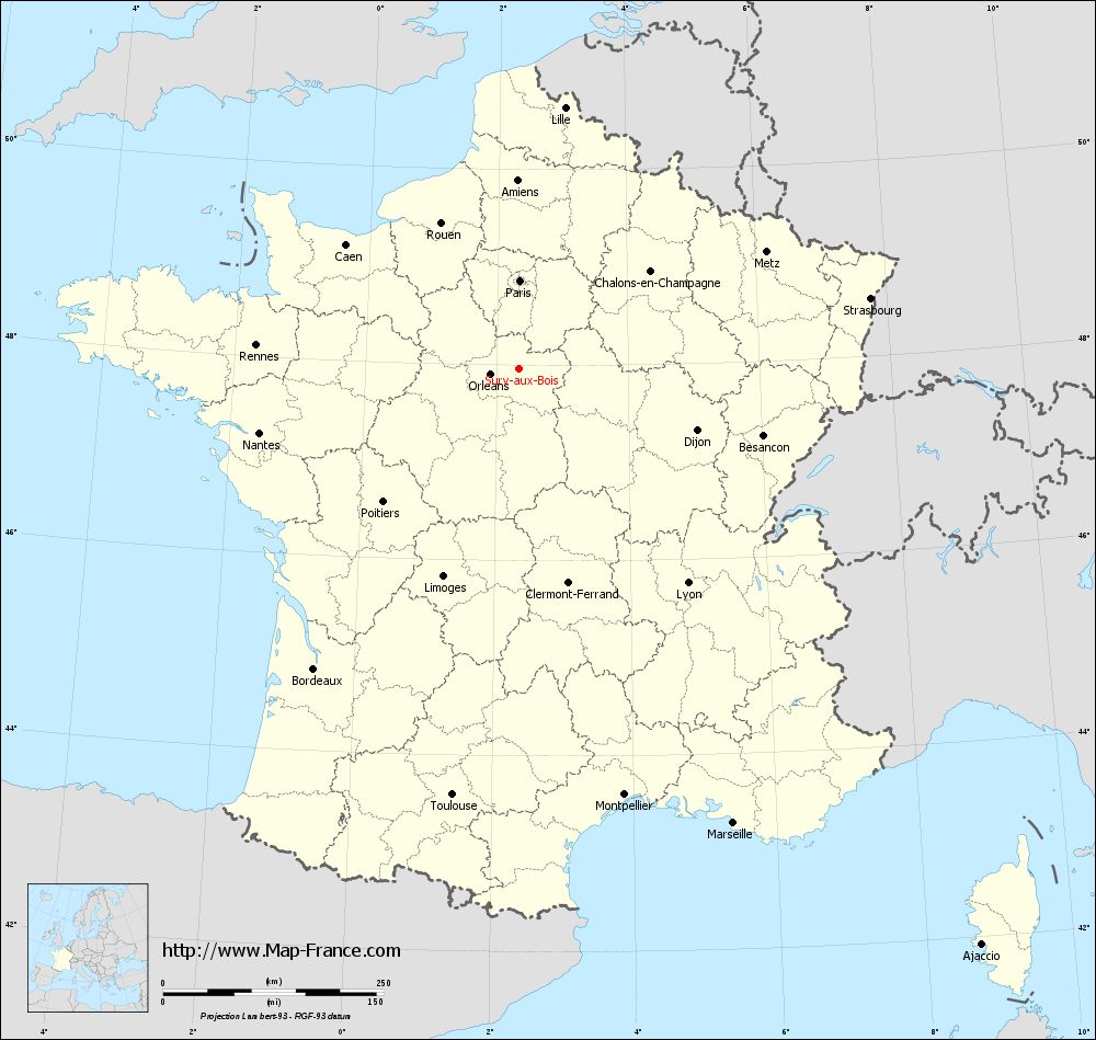
Map of Sury-aux-Bois with departments and prefectures
|
Voir la carte of Sury-aux-Bois en grand format (1000 x 949)
|
Here is the localization of Sury-aux-Bois on the France map of departments in Lambert 93 coordinates. The city of Sury-aux-Bois is shown on the map by a red point.
The town of Sury-aux-Bois is located in the department of Loiret of the french region Centre.
The latitude of Sury-aux-Bois is 47.966 degrees North.
The longitude of Sury-aux-Bois is 2.342 degrees East.
Here the distance between Sury-aux-Bois and the biggest cities of France:
Distances are calculated as the crow flies (orthodromic distance)
Distance between Sury-aux-Bois and Paris : 99.37 kilometers
Distance between Sury-aux-Bois and Marseille : 570.44 kilometers
Distance between Sury-aux-Bois and Lyon : 309.77 kilometers
Distance between Sury-aux-Bois and Toulouse : 490.02 kilometers
Distance between Sury-aux-Bois and Nice : 607.3 kilometers
Distance between Sury-aux-Bois and Nantes : 303.43 kilometers
Distance between Sury-aux-Bois and Strasbourg : 406.12 kilometers
Distance between Sury-aux-Bois and Montpellier : 498.46 kilometers
Distance between Sury-aux-Bois and Bordeaux : 412.67 kilometers
Distance between Sury-aux-Bois and Lille : 300.08 kilometers
Distance between Sury-aux-Bois and Rennes : 299.17 kilometers
Distance between Sury-aux-Bois and Reims : 189.73 kilometers
Clic here to see the map of Sury-aux-Bois in full screen:
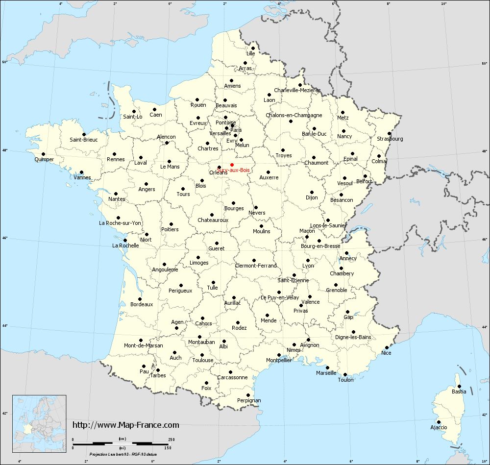
Sury-aux-Bois on the map of french departments
|
This administrative map of Sury-aux-Bois is reusable and modifiable by making a link to this page of the Map-France.com website or by using the given code :
|
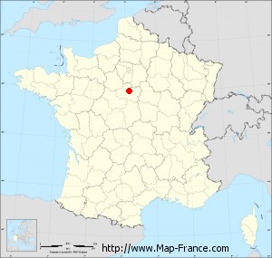
Administrative base maps of Sury-aux-Bois
|

See the administrative base map of Sury-aux-Bois in full screen (1000 x 949)
|
Small administrative base map of Sury-aux-Bois
|
This base map administrative of Sury-aux-Bois is reusable and modifiable by making a link to this page of the Map-France.com website or by using the given code :
|
 French Version : http://www.cartesfrance.fr