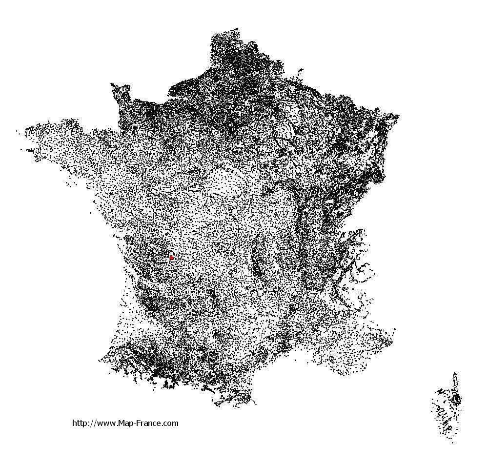
Taponnat-Fleurignac on the relief France map in Lambert 93 coordinates
|

See the map of Taponnat-Fleurignac in full screen (1000 x 949)
|
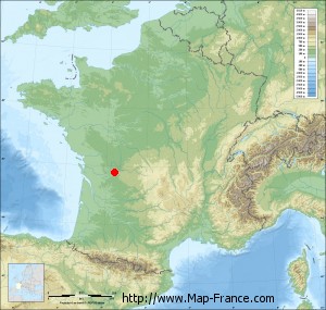
At left, here is the location of Taponnat-Fleurignac on the relief France map in Lambert 93 coordinates.
Here are the altitudes of Taponnat-Fleurignac :
- Town hall altitude of Taponnat-Fleurignac is 109 meters
- Minimum altitude of Taponnat-Fleurignac is 85 meters
- Maximum altitude of Taponnat-Fleurignac is 158 meters
- Medium altitude of Taponnat-Fleurignac is 122 meters
Here are the altitudes of Angoulême, prefecture of Charente department:
- Town hall altitude of Angoulême is 86 meters
- Minimum altitude of Angoulême is 25 meters
- Maximum altitude of Angoulême is 130 meters
- Medium altitude of Angoulême is 78 meters
Here are the altitudes of the french biggest cities:
Paris : 33 meters
Marseille : 20 meters
Lyon : 237 meters
Toulouse : 146 meters
Nice : 10 meters
Nantes : 20 meters
Strasbourg : 144 meters
Montpellier : 35 meters
Bordeaux : 16 meters
Lille : 20 meters
Rennes : 35 meters
Reims : 83 meters
Click here for the terrain map of Taponnat-Fleurignac in full screen:
Relief map of Taponnat-Fleurignac
|
This relief map of Taponnat-Fleurignac is reusable and modifiable by making a link to this page of the Map-France.com website or by using the given code :
|
Terrain base map of Taponnat-Fleurignac
|

See the terrain base map of Taponnat-Fleurignac in full screen (1000 x 949)
|
Small relief base map of Taponnat-Fleurignac
|
This base map of Taponnat-Fleurignac is reusable and modifiable by making a link to this page of the Map-France.com website or by using the given code :
|
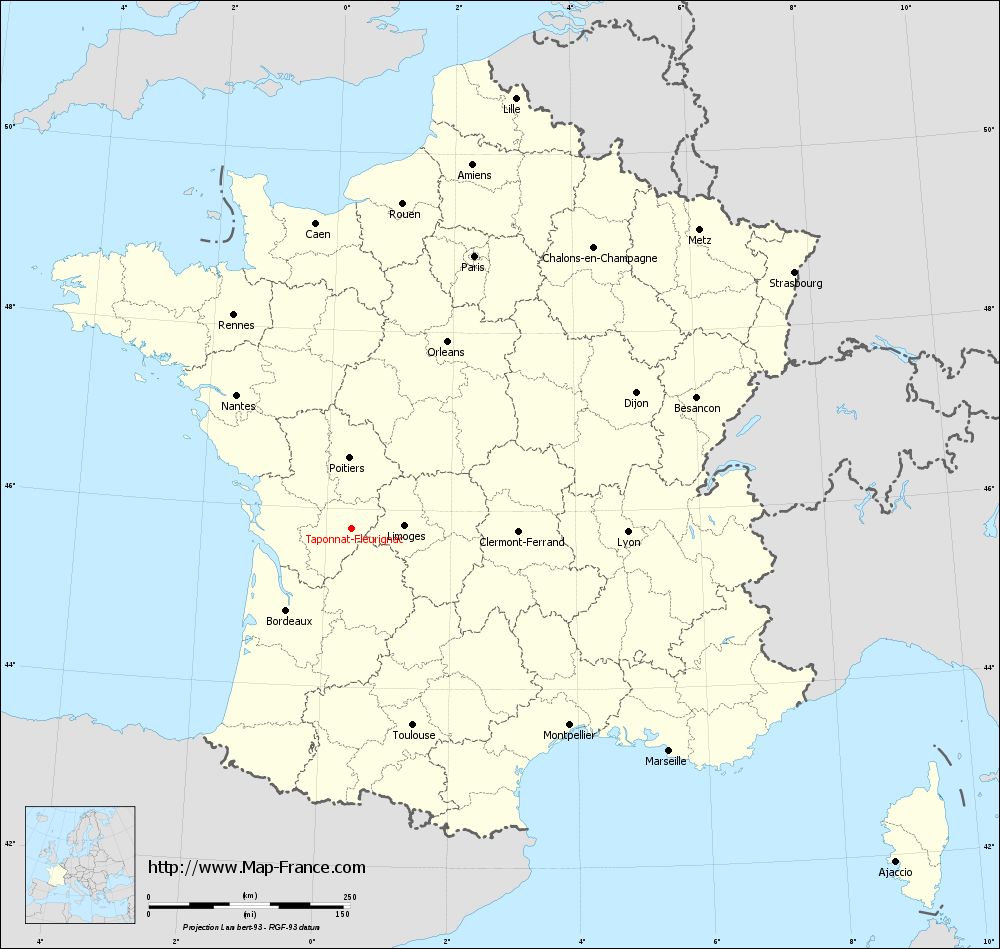
Map of Taponnat-Fleurignac with regions and prefectures
|
View the map of Taponnat-Fleurignac in full screen (1000 x 949)
|
You will find the location of Taponnat-Fleurignac on the map of France of regions in Lambert 93 coordinates. The town of Taponnat-Fleurignac is located in the department of Charente of the french region Poitou-Charentes.
Geographical sexagesimal coordinates / GPS (WGS84):
Latitude: 45° 46' 45'' North
Longitude: 00° 24' 32'' East
Geographical decimal coordinates :
Latitude: 45.779 degrees (45.779° North)
Longitude: 0.409 degrees (0.409° East)
Lambert 93 coordinates :
X: 4 987 hectometers
Y: 65 232 hectometers
Lambert 2 coordinates :
X: 4 501 hectometers
Y: 20 884 hectometers
Below, the geographical coordinates of Angoulême, prefecture of the Charente department:
Geographical sexagesimal coordinates / GPS (WGS84):
Latitude: 45° 38' 58'' North
Longitude: 00° 09' 34'' East
Geographical decimal coordinates :
Latitude: 45.653 degrees (45.653° North)
Longitude: 0.155 degrees (0.155° East)
Lambert 93 coordinates :
X: 4 788 hectometers
Y: 65 095 hectometers
Lambert 2 coordinates :
X: 4 303 hectometers
Y: 20 745 hectometers
|
This map of Taponnat-Fleurignac is reusable and modifiable by making a link to this page of the Map-France.com website or by using the given code :
|
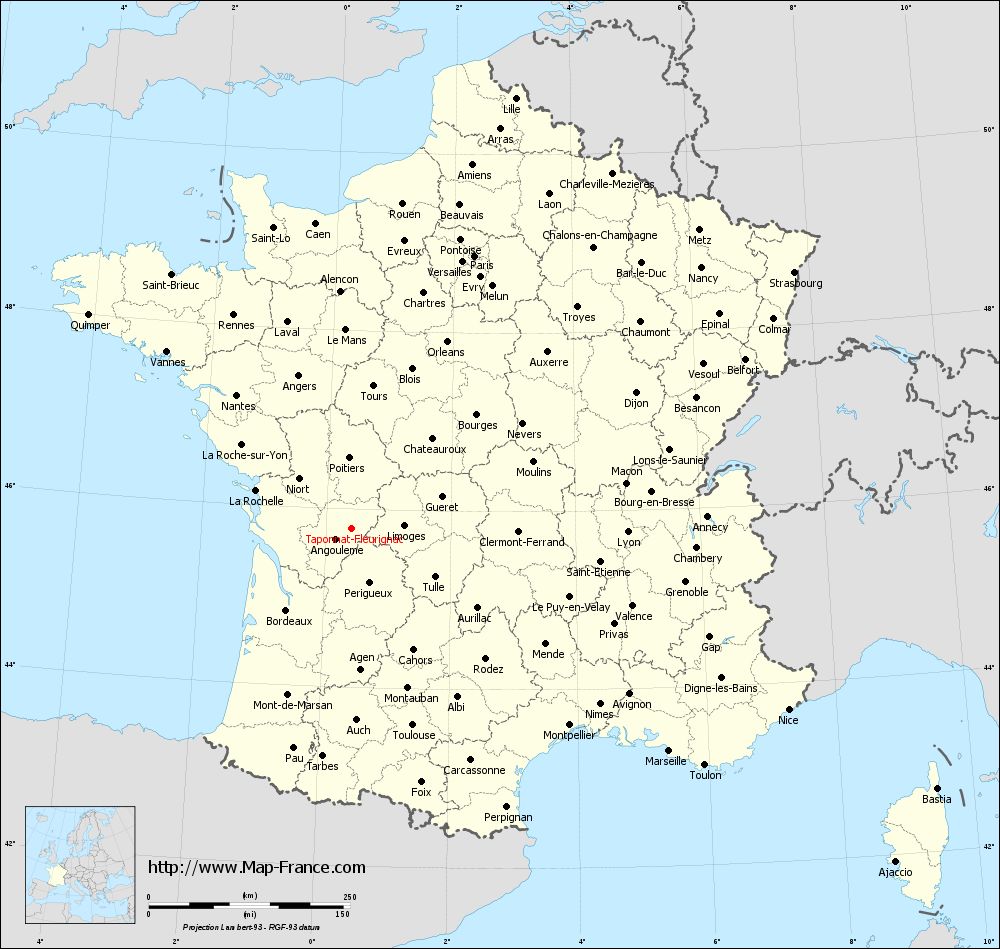
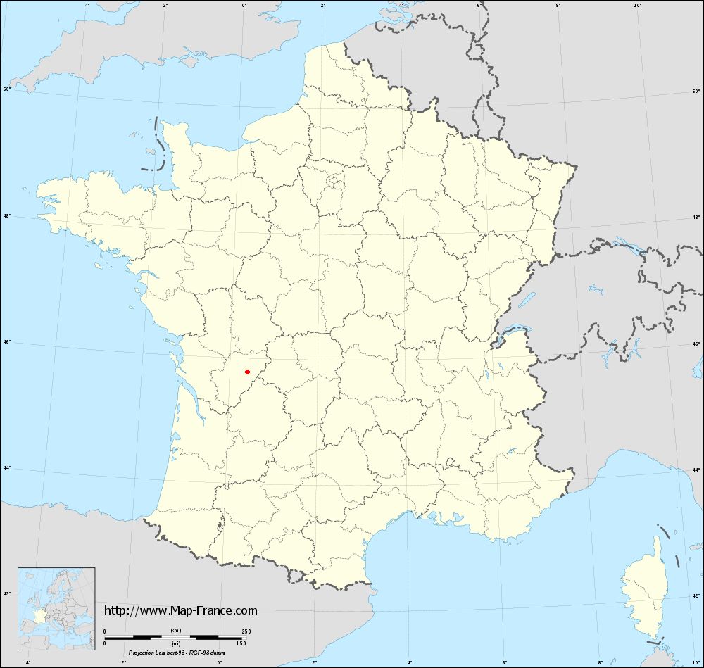
Map of Taponnat-Fleurignac with departments and prefectures
|
Voir la carte of Taponnat-Fleurignac en grand format (1000 x 949)
|
Here is the localization of Taponnat-Fleurignac on the France map of departments in Lambert 93 coordinates. The city of Taponnat-Fleurignac is shown on the map by a red point.
The town of Taponnat-Fleurignac is located in the department of Charente of the french region Poitou-Charentes.
The latitude of Taponnat-Fleurignac is 45.779 degrees North.
The longitude of Taponnat-Fleurignac is 0.409 degrees East.
Here the distance between Taponnat-Fleurignac and the biggest cities of France:
Distances are calculated as the crow flies (orthodromic distance)
Distance between Taponnat-Fleurignac and Paris : 372.13 kilometers
Distance between Taponnat-Fleurignac and Marseille : 481.74 kilometers
Distance between Taponnat-Fleurignac and Lyon : 342.96 kilometers
Distance between Taponnat-Fleurignac and Toulouse : 255.7 kilometers
Distance between Taponnat-Fleurignac and Nice : 587.57 kilometers
Distance between Taponnat-Fleurignac and Nantes : 219.39 kilometers
Distance between Taponnat-Fleurignac and Strasbourg : 635.96 kilometers
Distance between Taponnat-Fleurignac and Montpellier : 364.68 kilometers
Distance between Taponnat-Fleurignac and Bordeaux : 129.34 kilometers
Distance between Taponnat-Fleurignac and Lille : 572.91 kilometers
Distance between Taponnat-Fleurignac and Rennes : 303.38 kilometers
Distance between Taponnat-Fleurignac and Reims : 472.4 kilometers
Clic here to see the map of Taponnat-Fleurignac in full screen:
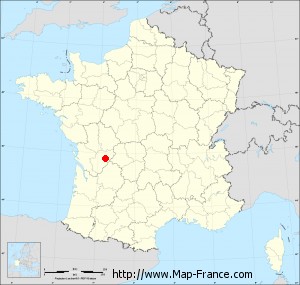
Taponnat-Fleurignac on the map of french departments
|
This administrative map of Taponnat-Fleurignac is reusable and modifiable by making a link to this page of the Map-France.com website or by using the given code :
|
Administrative base maps of Taponnat-Fleurignac
|
See the administrative base map of Taponnat-Fleurignac in full screen (1000 x 949)
|
Small administrative base map of Taponnat-Fleurignac
|
This base map administrative of Taponnat-Fleurignac is reusable and modifiable by making a link to this page of the Map-France.com website or by using the given code :
|
 French Version : http://www.cartesfrance.fr