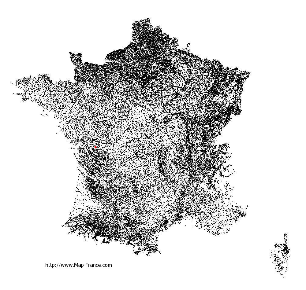
Thorigné on the relief France map in Lambert 93 coordinates
|

See the map of Thorigné in full screen (1000 x 949)
|
At left, here is the location of Thorigné on the relief France map in Lambert 93 coordinates.
Here are the altitudes of Thorigné :
- Town hall altitude of Thorigné is 100 meters
- Minimum altitude of Thorigné is 78 meters
- Maximum altitude of Thorigné is 144 meters
- Medium altitude of Thorigné is 111 meters
Here are the altitudes of Niort, prefecture of Deux-Sèvres department:
- Town hall altitude of Niort is 28 meters
- Minimum altitude of Niort is 2 meters
- Maximum altitude of Niort is 77 meters
- Medium altitude of Niort is 40 meters
Here are the altitudes of the french biggest cities:
Paris : 33 meters
Marseille : 20 meters
Lyon : 237 meters
Toulouse : 146 meters
Nice : 10 meters
Nantes : 20 meters
Strasbourg : 144 meters
Montpellier : 35 meters
Bordeaux : 16 meters
Lille : 20 meters
Rennes : 35 meters
Reims : 83 meters
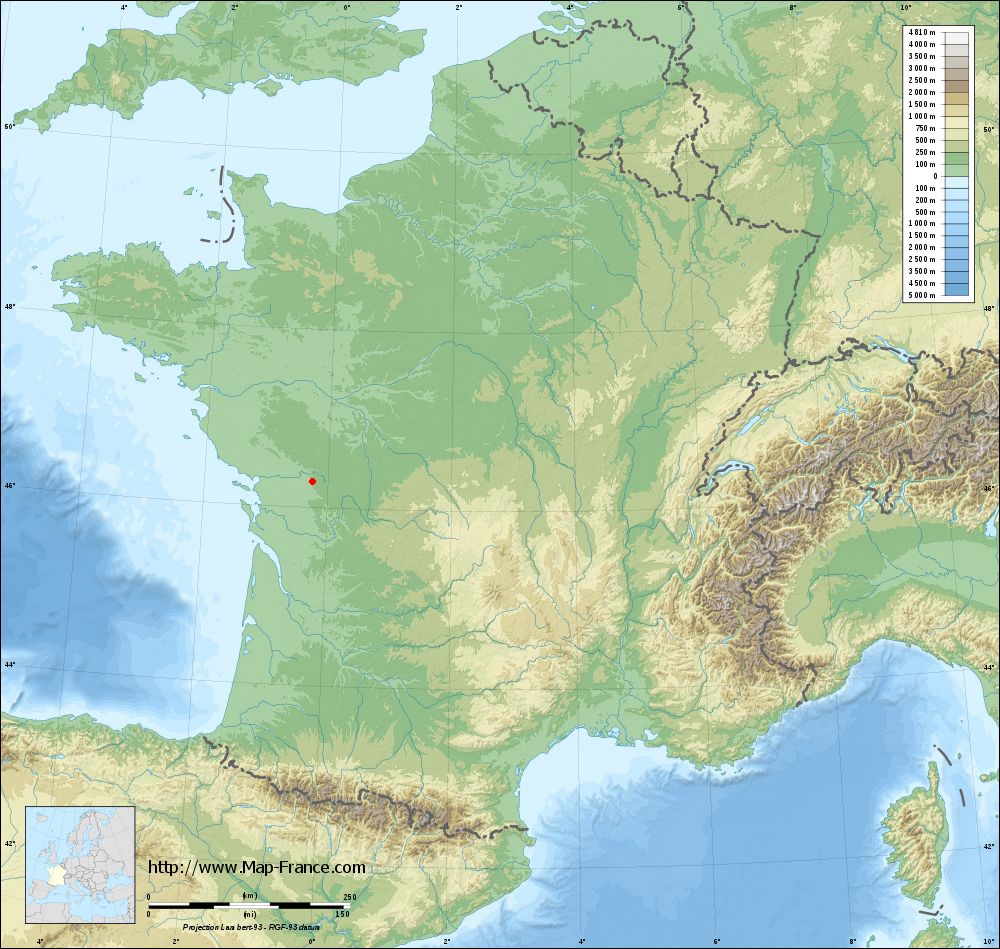
Click here for the terrain map of Thorigné in full screen:
Relief map of Thorigné
|
This relief map of Thorigné is reusable and modifiable by making a link to this page of the Map-France.com website or by using the given code :
|
Terrain base map of Thorigné
|
See the terrain base map of Thorigné in full screen (1000 x 949)
|
Small relief base map of Thorigné
|
This base map of Thorigné is reusable and modifiable by making a link to this page of the Map-France.com website or by using the given code :
|
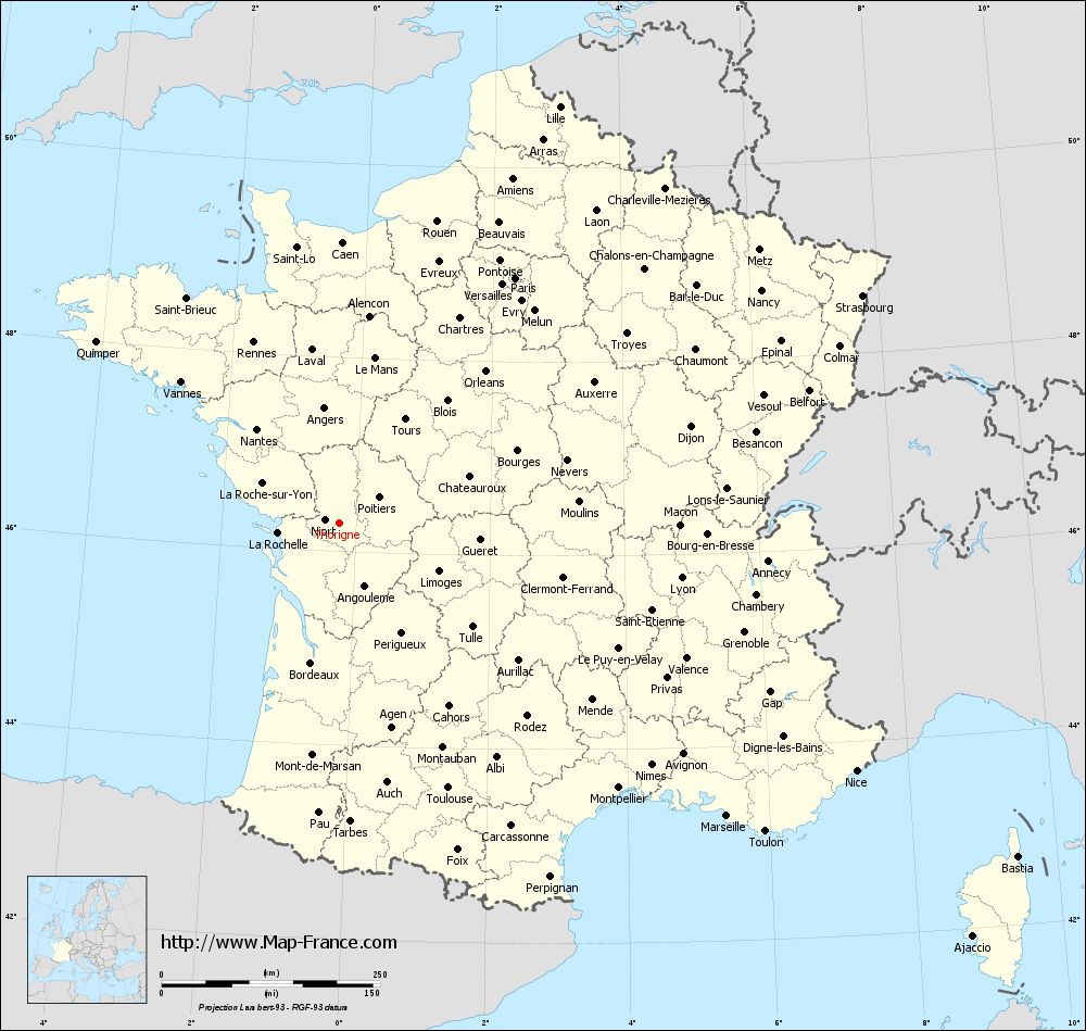
Map of Thorigné with regions and prefectures
|
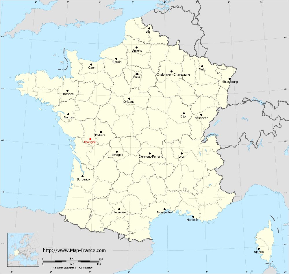
View the map of Thorigné in full screen (1000 x 949)
|
You will find the location of Thorigné on the map of France of regions in Lambert 93 coordinates. The town of Thorigné is located in the department of Deux-Sèvres of the french region Poitou-Charentes.
Geographical sexagesimal coordinates / GPS (WGS84):
Latitude: 46° 17' 28'' North
Longitude: 00° 15' 10'' West
Geographical decimal coordinates :
Latitude: 46.292 degrees (46.292° North)
Longitude: -0.252 degrees (0.252° West)
Lambert 93 coordinates :
X: 4 497 hectometers
Y: 65 819 hectometers
Lambert 2 coordinates :
X: 4 005 hectometers
Y: 21 467 hectometers
Below, the geographical coordinates of Niort, prefecture of the Deux-Sèvres department:
Geographical sexagesimal coordinates / GPS (WGS84):
Latitude: 46° 19' 30'' North
Longitude: 00° 27' 44'' West
Geographical decimal coordinates :
Latitude: 46.324 degrees (46.324° North)
Longitude: -0.462 degrees (0.462° West)
Lambert 93 coordinates :
X: 4 337 hectometers
Y: 65 864 hectometers
Lambert 2 coordinates :
X: 3 845 hectometers
Y: 21 510 hectometers
|
This map of Thorigné is reusable and modifiable by making a link to this page of the Map-France.com website or by using the given code :
|
Map of Thorigné with departments and prefectures
|
Voir la carte of Thorigné en grand format (1000 x 949)
|
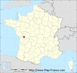
Here is the localization of Thorigné on the France map of departments in Lambert 93 coordinates. The city of Thorigné is shown on the map by a red point.
The town of Thorigné is located in the department of Deux-Sèvres of the french region Poitou-Charentes.
The latitude of Thorigné is 46.292 degrees North.
The longitude of Thorigné is 0.252 degrees West.
Here the distance between Thorigné and the biggest cities of France:
Distances are calculated as the crow flies (orthodromic distance)
Distance between Thorigné and Paris : 345.47 kilometers
Distance between Thorigné and Marseille : 555.83 kilometers
Distance between Thorigné and Lyon : 396.75 kilometers
Distance between Thorigné and Toulouse : 327.62 kilometers
Distance between Thorigné and Nice : 656.15 kilometers
Distance between Thorigné and Nantes : 142.98 kilometers
Distance between Thorigné and Strasbourg : 653.06 kilometers
Distance between Thorigné and Montpellier : 440.45 kilometers
Distance between Thorigné and Bordeaux : 162.9 kilometers
Distance between Thorigné and Lille : 539.42 kilometers
Distance between Thorigné and Rennes : 228.78 kilometers
Distance between Thorigné and Reims : 459.1 kilometers
Clic here to see the map of Thorigné in full screen:
Thorigné on the map of french departments
|
This administrative map of Thorigné is reusable and modifiable by making a link to this page of the Map-France.com website or by using the given code :
|
Administrative base maps of Thorigné
|

See the administrative base map of Thorigné in full screen (1000 x 949)
|
Small administrative base map of Thorigné
|
This base map administrative of Thorigné is reusable and modifiable by making a link to this page of the Map-France.com website or by using the given code :
|
 French Version : http://www.cartesfrance.fr