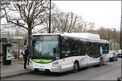
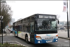
Here are the photos of the city of Thouaré-sur-Loire and nearby towns. Thouaré-sur-Loire is located in the department of Loire-Atlantique in the region of Pays de la Loire. You will find the satellite map of Thouaré-sur-Loire under these photos.
To see photos of nearby towns of Thouaré-sur-Loire, you can try the following links :
- Sainte-Luce-sur-Loire photos : town located at 3.88 km - Saint-Julien-de-Concelles photos : town located at 4.12 km - Mauves-sur-Loire photos : town located at 4.98 km - Carquefou photos : town located at 5.12 km - Basse-Goulaine photos : town located at 5.89 km - Haute-Goulaine photos : town located at 7.60 km - Le Loroux-Bottereau photos : town located at 7.79 km - La Chapelle-Basse-Mer photos : town located at 7.81 km - Saint-Sébastien-sur-Loire photos : town located at 8.43 km - La Chapelle-sur-Erdre photos : town located at 8.94 km - Le Cellier photos : town located at 9.35 km - Nantes photos : town located at 9.99 km
- photos of the department prefecture of Loire-Atlantique : photos of Nantes - pictures of others cities of Loire-Atlantique : Loire-Atlantique
To see Thouaré-sur-Loire from the sky, here is the satellite map of the city of Thouaré-sur-Loire : Thouaré-sur-Loire map.
|
I like Thouaré-sur-Loire !
|
|
|
|
|