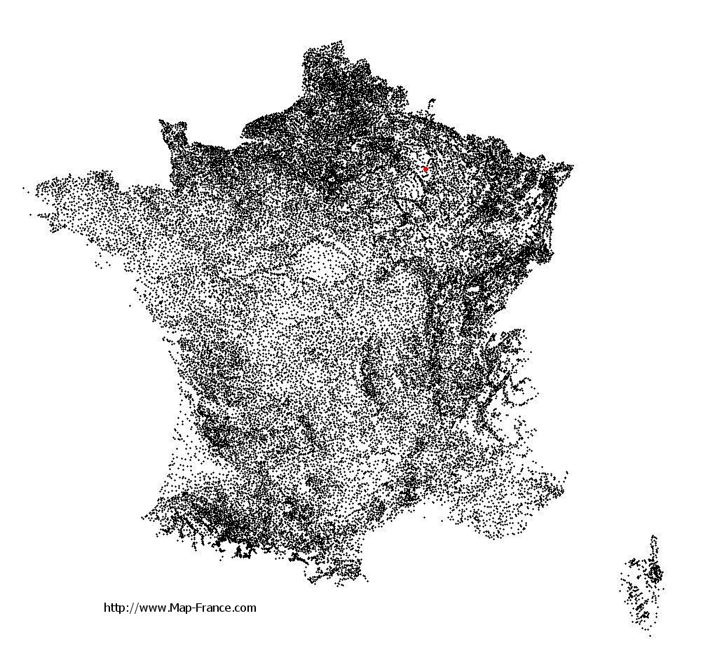
Tilloy-et-Bellay on the relief France map in Lambert 93 coordinates
|

See the map of Tilloy-et-Bellay in full screen (1000 x 949)
|
At left, here is the location of Tilloy-et-Bellay on the relief France map in Lambert 93 coordinates.
Here are the altitudes of Tilloy-et-Bellay :
- Town hall altitude of Tilloy-et-Bellay is 180 meters
- Minimum altitude of Tilloy-et-Bellay is 156 meters
- Maximum altitude of Tilloy-et-Bellay is 198 meters
- Medium altitude of Tilloy-et-Bellay is 177 meters
Here are the altitudes of Châlons-en-Champagne, prefecture of Marne department:
- Town hall altitude of Châlons-en-Champagne is 85 meters
- Minimum altitude of Châlons-en-Champagne is 79 meters
- Maximum altitude of Châlons-en-Champagne is 153 meters
- Medium altitude of Châlons-en-Champagne is 116 meters
Here are the altitudes of the french biggest cities:
Paris : 33 meters
Marseille : 20 meters
Lyon : 237 meters
Toulouse : 146 meters
Nice : 10 meters
Nantes : 20 meters
Strasbourg : 144 meters
Montpellier : 35 meters
Bordeaux : 16 meters
Lille : 20 meters
Rennes : 35 meters
Reims : 83 meters
Click here for the terrain map of Tilloy-et-Bellay in full screen:
Relief map of Tilloy-et-Bellay
|
This relief map of Tilloy-et-Bellay is reusable and modifiable by making a link to this page of the Map-France.com website or by using the given code :
|
Terrain base map of Tilloy-et-Bellay
|

See the terrain base map of Tilloy-et-Bellay in full screen (1000 x 949)
|
Small relief base map of Tilloy-et-Bellay

|
This base map of Tilloy-et-Bellay is reusable and modifiable by making a link to this page of the Map-France.com website or by using the given code :
|
Map of Tilloy-et-Bellay with regions and prefectures
|
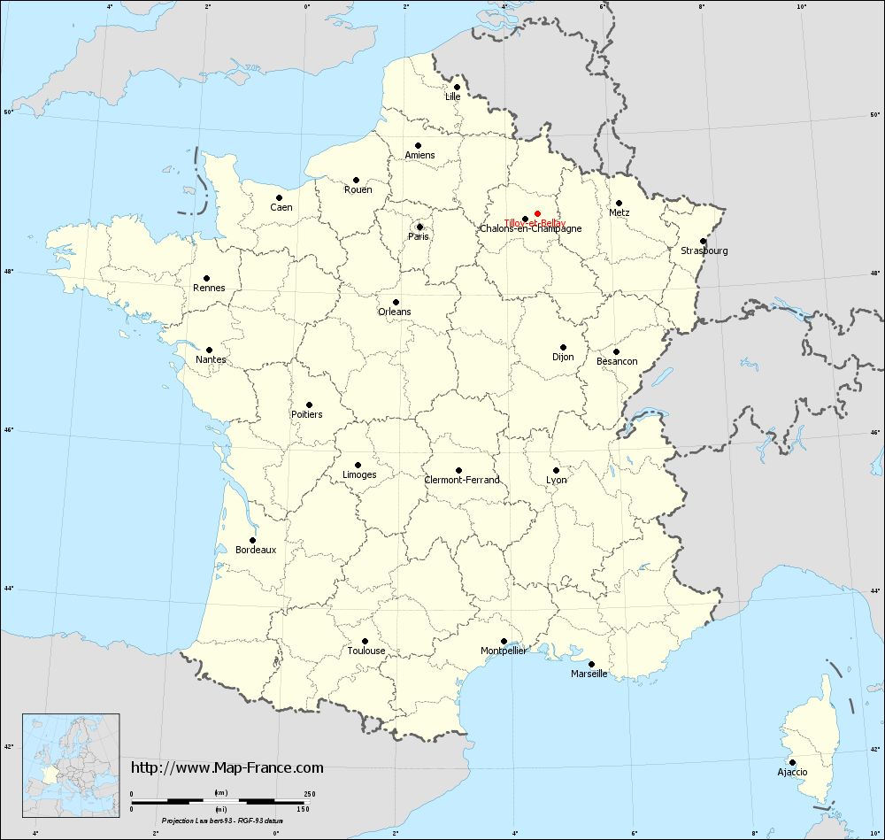
View the map of Tilloy-et-Bellay in full screen (1000 x 949)
|
You will find the location of Tilloy-et-Bellay on the map of France of regions in Lambert 93 coordinates. The town of Tilloy-et-Bellay is located in the department of Marne of the french region Champagne-Ardenne.
Geographical sexagesimal coordinates / GPS (WGS84):
Latitude: 49° 01' 02'' North
Longitude: 04° 36' 49'' East
Geographical decimal coordinates :
Latitude: 49.02 degrees (49.02° North)
Longitude: 4.614 degrees (4.614° East)
Lambert 93 coordinates :
X: 8 180 hectometers
Y: 68 809 hectometers
Lambert 2 coordinates :
X: 7 666 hectometers
Y: 24 490 hectometers
Below, the geographical coordinates of Châlons-en-Champagne, prefecture of the Marne department:
Geographical sexagesimal coordinates / GPS (WGS84):
Latitude: 48° 57' 24'' North
Longitude: 04° 21' 52'' East
Geographical decimal coordinates :
Latitude: 48.957 degrees (48.957° North)
Longitude: 4.362 degrees (4.362° East)
Lambert 93 coordinates :
X: 7 999 hectometers
Y: 68 738 hectometers
Lambert 2 coordinates :
X: 7 486 hectometers
Y: 24 417 hectometers
|
This map of Tilloy-et-Bellay is reusable and modifiable by making a link to this page of the Map-France.com website or by using the given code :
|
Map of Tilloy-et-Bellay with departments and prefectures
|
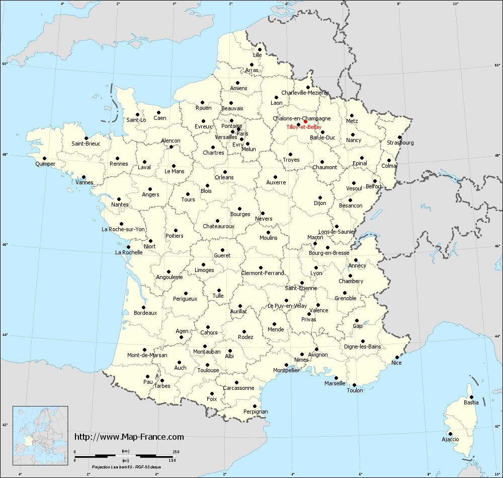
Voir la carte of Tilloy-et-Bellay en grand format (1000 x 949)
|
Here is the localization of Tilloy-et-Bellay on the France map of departments in Lambert 93 coordinates. The city of Tilloy-et-Bellay is shown on the map by a red point.
The town of Tilloy-et-Bellay is located in the department of Marne of the french region Champagne-Ardenne.
The latitude of Tilloy-et-Bellay is 49.02 degrees North.
The longitude of Tilloy-et-Bellay is 4.614 degrees East.
Here the distance between Tilloy-et-Bellay and the biggest cities of France:
Distances are calculated as the crow flies (orthodromic distance)
Distance between Tilloy-et-Bellay and Paris : 166.47 kilometers
Distance between Tilloy-et-Bellay and Marseille : 638.64 kilometers
Distance between Tilloy-et-Bellay and Lyon : 362.58 kilometers
Distance between Tilloy-et-Bellay and Toulouse : 649.13 kilometers
Distance between Tilloy-et-Bellay and Nice : 624.21 kilometers
Distance between Tilloy-et-Bellay and Nantes : 499.13 kilometers
Distance between Tilloy-et-Bellay and Strasbourg : 234.92 kilometers
Distance between Tilloy-et-Bellay and Montpellier : 603.85 kilometers
Distance between Tilloy-et-Bellay and Bordeaux : 608.27 kilometers
Distance between Tilloy-et-Bellay and Lille : 211.14 kilometers
Distance between Tilloy-et-Bellay and Rennes : 473.63 kilometers
Distance between Tilloy-et-Bellay and Reims : 49.95 kilometers
Clic here to see the map of Tilloy-et-Bellay in full screen:
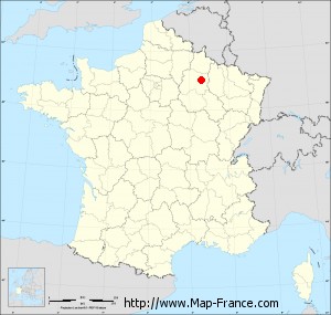
Tilloy-et-Bellay on the map of french departments
|
This administrative map of Tilloy-et-Bellay is reusable and modifiable by making a link to this page of the Map-France.com website or by using the given code :
|
Administrative base maps of Tilloy-et-Bellay
|

See the administrative base map of Tilloy-et-Bellay in full screen (1000 x 949)
|
Small administrative base map of Tilloy-et-Bellay
|
This base map administrative of Tilloy-et-Bellay is reusable and modifiable by making a link to this page of the Map-France.com website or by using the given code :
|
 French Version : http://www.cartesfrance.fr