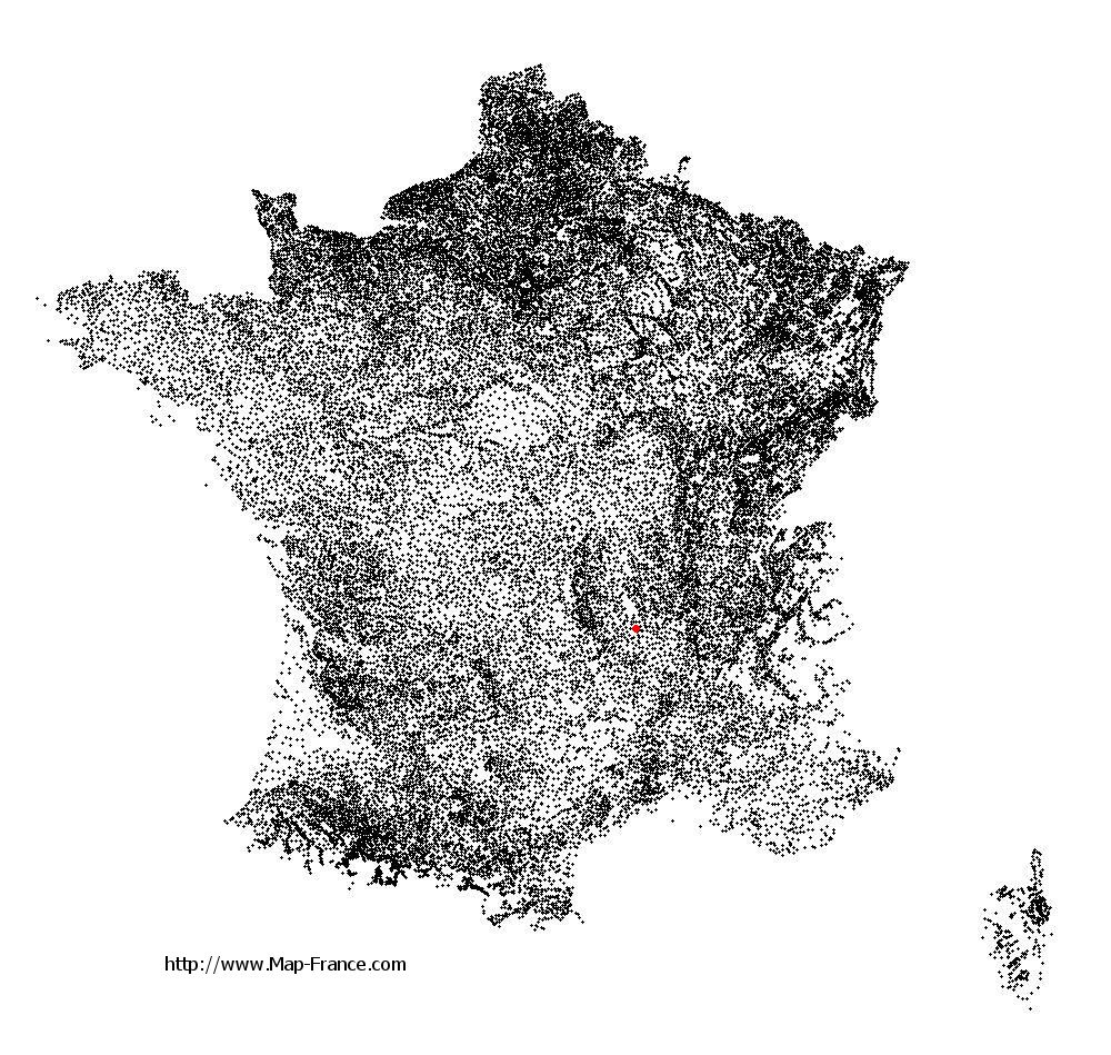
Usson-en-Forez on the relief France map in Lambert 93 coordinates
|

See the map of Usson-en-Forez in full screen (1000 x 949)
|
At left, here is the location of Usson-en-Forez on the relief France map in Lambert 93 coordinates.
Here are the altitudes of Usson-en-Forez :
- Town hall altitude of Usson-en-Forez is 920 meters
- Minimum altitude of Usson-en-Forez is 767 meters
- Maximum altitude of Usson-en-Forez is 1 137 meters
- Medium altitude of Usson-en-Forez is 952 meters
Here are the altitudes of Saint-Étienne, prefecture of Loire department:
- Town hall altitude of Saint-Étienne is 515 meters
- Minimum altitude of Saint-Étienne is 422 meters
- Maximum altitude of Saint-Étienne is 1 117 meters
- Medium altitude of Saint-Étienne is 770 meters
Here are the altitudes of the french biggest cities:
Paris : 33 meters
Marseille : 20 meters
Lyon : 237 meters
Toulouse : 146 meters
Nice : 10 meters
Nantes : 20 meters
Strasbourg : 144 meters
Montpellier : 35 meters
Bordeaux : 16 meters
Lille : 20 meters
Rennes : 35 meters
Reims : 83 meters
Click here for the terrain map of Usson-en-Forez in full screen:
Relief map of Usson-en-Forez
|
This relief map of Usson-en-Forez is reusable and modifiable by making a link to this page of the Map-France.com website or by using the given code :
|
Terrain base map of Usson-en-Forez
|

See the terrain base map of Usson-en-Forez in full screen (1000 x 949)
|
Small relief base map of Usson-en-Forez

|
This base map of Usson-en-Forez is reusable and modifiable by making a link to this page of the Map-France.com website or by using the given code :
|
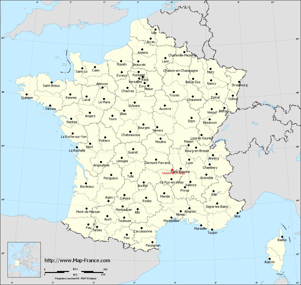
Map of Usson-en-Forez with regions and prefectures
|

View the map of Usson-en-Forez in full screen (1000 x 949)
|
You will find the location of Usson-en-Forez on the map of France of regions in Lambert 93 coordinates. The town of Usson-en-Forez is located in the department of Loire of the french region Rhône-Alpes.
Geographical sexagesimal coordinates / GPS (WGS84):
Latitude: 45° 23' 23'' North
Longitude: 03° 56' 29'' East
Geographical decimal coordinates :
Latitude: 45.391 degrees (45.391° North)
Longitude: 3.94 degrees (3.94° East)
Lambert 93 coordinates :
X: 7 737 hectometers
Y: 64 772 hectometers
Lambert 2 coordinates :
X: 7 257 hectometers
Y: 20 445 hectometers
Below, the geographical coordinates of Saint-Étienne, prefecture of the Loire department:
Geographical sexagesimal coordinates / GPS (WGS84):
Latitude: 45° 26' 02'' North
Longitude: 04° 23' 23'' East
Geographical decimal coordinates :
Latitude: 45.441 degrees (45.441° North)
Longitude: 4.39 degrees (4.39° East)
Lambert 93 coordinates :
X: 8 086 hectometers
Y: 64 825 hectometers
Lambert 2 coordinates :
X: 7 607 hectometers
Y: 20 502 hectometers
|
This map of Usson-en-Forez is reusable and modifiable by making a link to this page of the Map-France.com website or by using the given code :
|
Map of Usson-en-Forez with departments and prefectures
|
Voir la carte of Usson-en-Forez en grand format (1000 x 949)
|
Here is the localization of Usson-en-Forez on the France map of departments in Lambert 93 coordinates. The city of Usson-en-Forez is shown on the map by a red point.
The town of Usson-en-Forez is located in the department of Loire of the french region Rhône-Alpes.
The latitude of Usson-en-Forez is 45.391 degrees North.
The longitude of Usson-en-Forez is 3.94 degrees East.
Here the distance between Usson-en-Forez and the biggest cities of France:
Distances are calculated as the crow flies (orthodromic distance)
Distance between Usson-en-Forez and Paris : 403.94 kilometers
Distance between Usson-en-Forez and Marseille : 259.85 kilometers
Distance between Usson-en-Forez and Lyon : 80.78 kilometers
Distance between Usson-en-Forez and Toulouse : 280.17 kilometers
Distance between Usson-en-Forez and Nice : 322.79 kilometers
Distance between Usson-en-Forez and Nantes : 467.93 kilometers
Distance between Usson-en-Forez and Strasbourg : 457.66 kilometers
Distance between Usson-en-Forez and Montpellier : 198.02 kilometers
Distance between Usson-en-Forez and Bordeaux : 359.13 kilometers
Distance between Usson-en-Forez and Lille : 585.7 kilometers
Distance between Usson-en-Forez and Rennes : 523.44 kilometers
Distance between Usson-en-Forez and Reims : 429.76 kilometers
Clic here to see the map of Usson-en-Forez in full screen:
Usson-en-Forez on the map of french departments
|
This administrative map of Usson-en-Forez is reusable and modifiable by making a link to this page of the Map-France.com website or by using the given code :
|
Administrative base maps of Usson-en-Forez
|

See the administrative base map of Usson-en-Forez in full screen (1000 x 949)
|
Small administrative base map of Usson-en-Forez
|
This base map administrative of Usson-en-Forez is reusable and modifiable by making a link to this page of the Map-France.com website or by using the given code :
|
 French Version : http://www.cartesfrance.fr