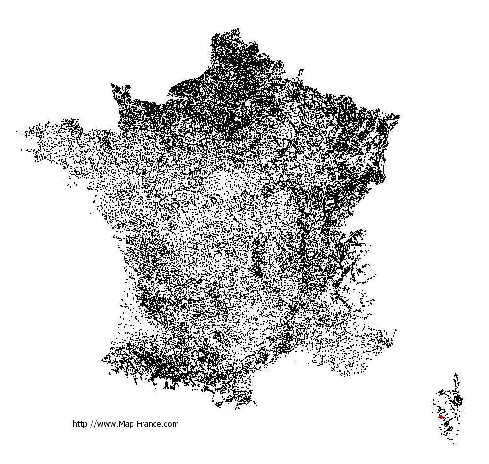
Valle-di-Mezzana on the relief France map in Lambert 93 coordinates
|

See the map of Valle-di-Mezzana in full screen (1000 x 949)
|
At left, here is the location of Valle-di-Mezzana on the relief France map in Lambert 93 coordinates.
Here are the altitudes of Valle-di-Mezzana :
- Town hall altitude of Valle-di-Mezzana is 360 meters
- Minimum altitude of Valle-di-Mezzana is 174 meters
- Maximum altitude of Valle-di-Mezzana is 827 meters
- Medium altitude of Valle-di-Mezzana is 501 meters
Here are the altitudes of Ajaccio, prefecture of Corse-du-Sud department:
- Town hall altitude of Ajaccio is 20 meters
- Minimum altitude of Ajaccio is 0 meters
- Maximum altitude of Ajaccio is 787 meters
- Medium altitude of Ajaccio is 394 meters
Here are the altitudes of the french biggest cities:
Paris : 33 meters
Marseille : 20 meters
Lyon : 237 meters
Toulouse : 146 meters
Nice : 10 meters
Nantes : 20 meters
Strasbourg : 144 meters
Montpellier : 35 meters
Bordeaux : 16 meters
Lille : 20 meters
Rennes : 35 meters
Reims : 83 meters
Click here for the terrain map of Valle-di-Mezzana in full screen:
Relief map of Valle-di-Mezzana
|
This relief map of Valle-di-Mezzana is reusable and modifiable by making a link to this page of the Map-France.com website or by using the given code :
|
Terrain base map of Valle-di-Mezzana
|

See the terrain base map of Valle-di-Mezzana in full screen (1000 x 949)
|
Small relief base map of Valle-di-Mezzana

|
This base map of Valle-di-Mezzana is reusable and modifiable by making a link to this page of the Map-France.com website or by using the given code :
|
Map of Valle-di-Mezzana with regions and prefectures
|
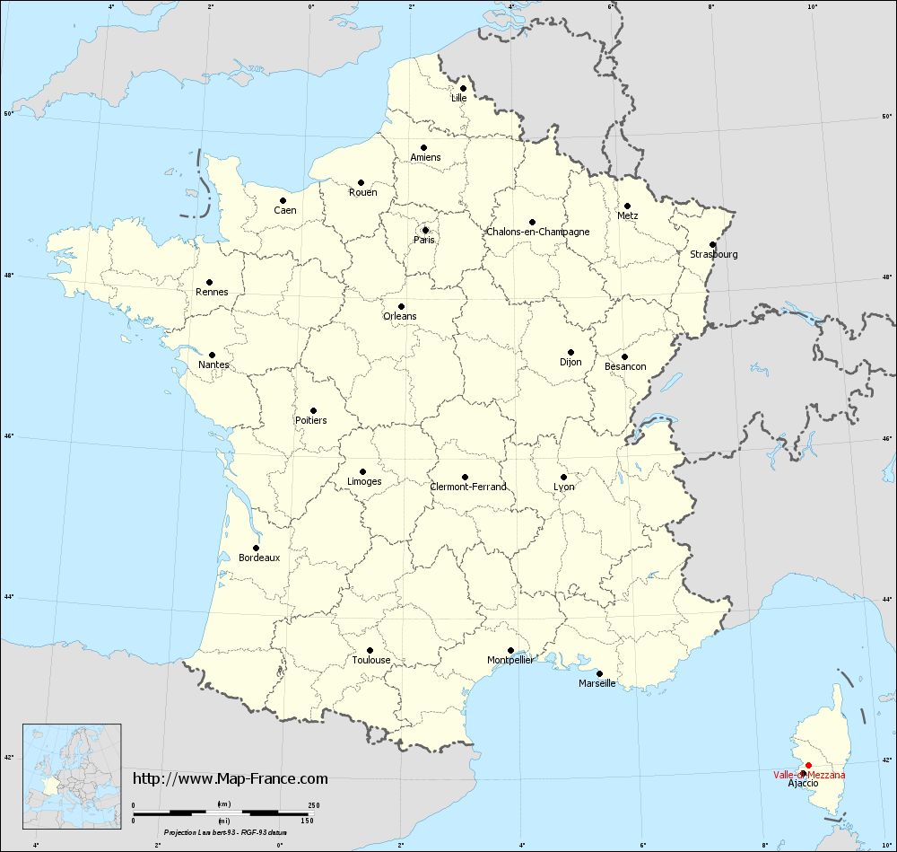
View the map of Valle-di-Mezzana in full screen (1000 x 949)
|
You will find the location of Valle-di-Mezzana on the map of France of regions in Lambert 93 coordinates. The town of Valle-di-Mezzana is located in the department of Corse-du-Sud of the french region Corse.
Geographical sexagesimal coordinates / GPS (WGS84):
Latitude: 42° 01' 32'' North
Longitude: 08° 49' 30'' East
Geographical decimal coordinates :
Latitude: 42.023 degrees (42.023° North)
Longitude: 8.824 degrees (8.824° East)
Lambert 93 coordinates :
X: 11 830 hectometers
Y: 61 206 hectometers
Lambert 2 coordinates :
X: 11 385 hectometers
Y: 16 912 hectometers
Below, the geographical coordinates of Ajaccio, prefecture of the Corse-du-Sud department:
Geographical sexagesimal coordinates / GPS (WGS84):
Latitude: 41° 55' 32'' North
Longitude: 08° 44' 11'' East
Geographical decimal coordinates :
Latitude: 41.921 degrees (41.921° North)
Longitude: 8.735 degrees (8.735° East)
Lambert 93 coordinates :
X: 11 764 hectometers
Y: 61 090 hectometers
Lambert 2 coordinates :
X: 11 321 hectometers
Y: 16 795 hectometers
|
This map of Valle-di-Mezzana is reusable and modifiable by making a link to this page of the Map-France.com website or by using the given code :
|
Map of Valle-di-Mezzana with departments and prefectures
|
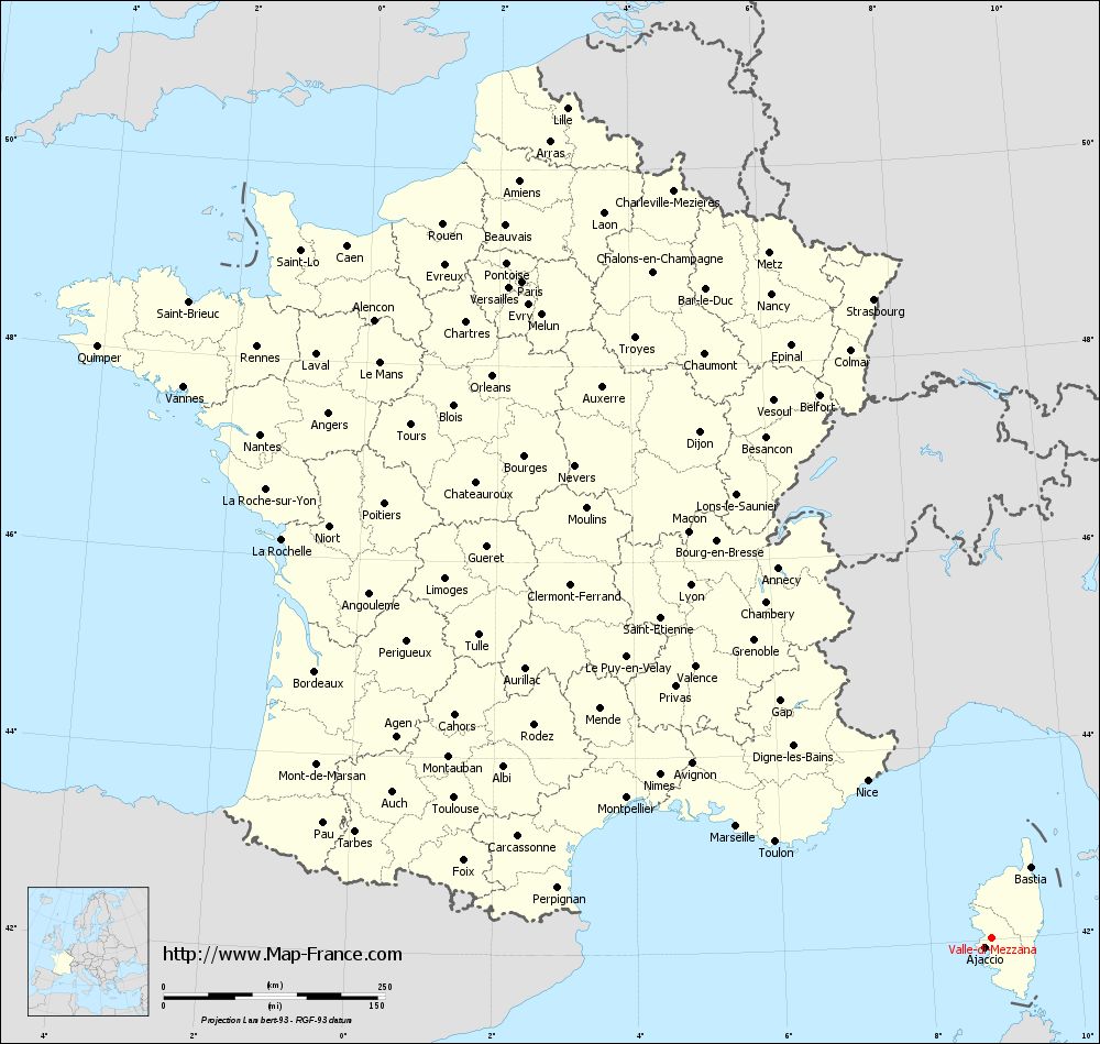
Voir la carte of Valle-di-Mezzana en grand format (1000 x 949)
|
Here is the localization of Valle-di-Mezzana on the France map of departments in Lambert 93 coordinates. The city of Valle-di-Mezzana is shown on the map by a red point.
The town of Valle-di-Mezzana is located in the department of Corse-du-Sud of the french region Corse.
The latitude of Valle-di-Mezzana is 42.023 degrees North.
The longitude of Valle-di-Mezzana is 8.824 degrees East.
Here the distance between Valle-di-Mezzana and the biggest cities of France:
Distances are calculated as the crow flies (orthodromic distance)
Distance between Valle-di-Mezzana and Paris : 911.5 kilometers
Distance between Valle-di-Mezzana and Marseille : 313.57 kilometers
Distance between Valle-di-Mezzana and Lyon : 523.68 kilometers
Distance between Valle-di-Mezzana and Toulouse : 625.8 kilometers
Distance between Valle-di-Mezzana and Nice : 226.13 kilometers
Distance between Valle-di-Mezzana and Nantes : 1002.08 kilometers
Distance between Valle-di-Mezzana and Strasbourg : 733.73 kilometers
Distance between Valle-di-Mezzana and Montpellier : 440.14 kilometers
Distance between Valle-di-Mezzana and Bordeaux : 819.91 kilometers
Distance between Valle-di-Mezzana and Lille : 1053.09 kilometers
Distance between Valle-di-Mezzana and Rennes : 1064.45 kilometers
Distance between Valle-di-Mezzana and Reims : 885.42 kilometers
Clic here to see the map of Valle-di-Mezzana in full screen:
Valle-di-Mezzana on the map of french departments
|
This administrative map of Valle-di-Mezzana is reusable and modifiable by making a link to this page of the Map-France.com website or by using the given code :
|
Administrative base maps of Valle-di-Mezzana
|

See the administrative base map of Valle-di-Mezzana in full screen (1000 x 949)
|
Small administrative base map of Valle-di-Mezzana
|
This base map administrative of Valle-di-Mezzana is reusable and modifiable by making a link to this page of the Map-France.com website or by using the given code :
|
 French Version : http://www.cartesfrance.fr