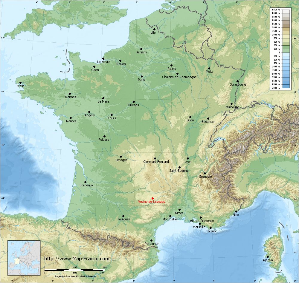
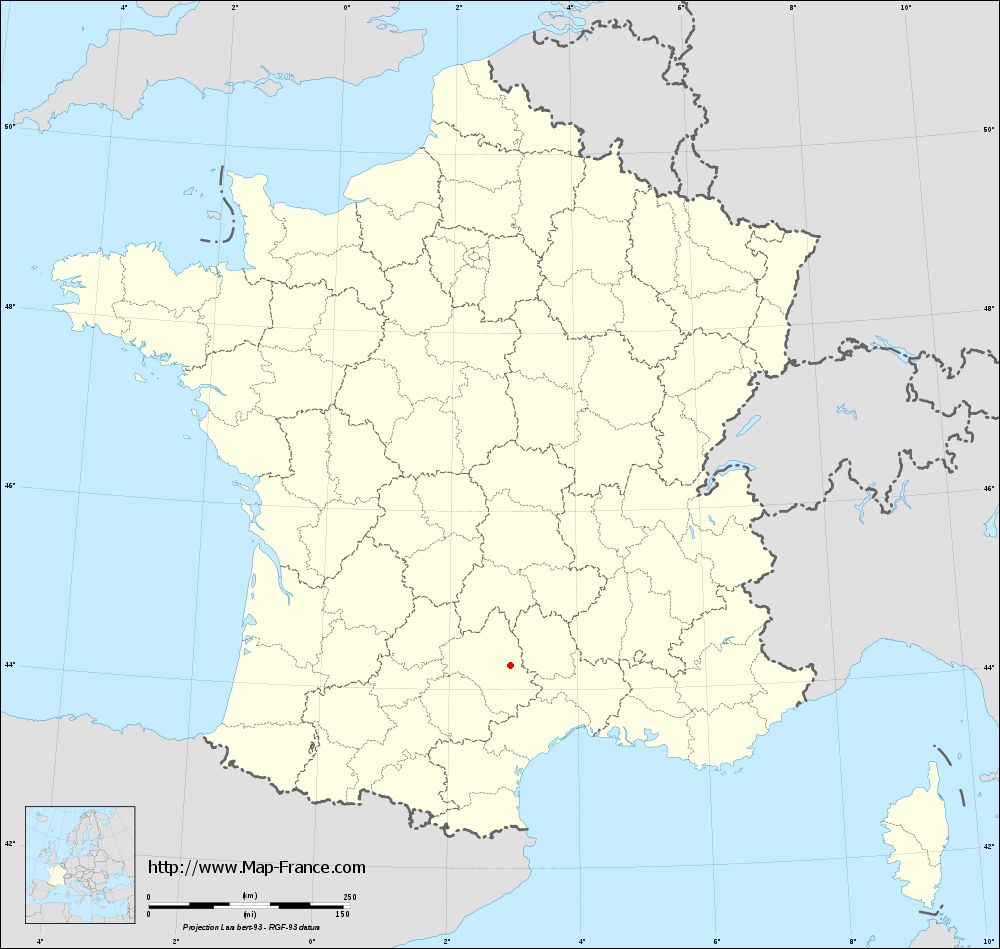
Vézins-de-Lévézou on the relief France map in Lambert 93 coordinates
|
See the map of Vézins-de-Lévézou in full screen (1000 x 949)
|
At left, here is the location of Vézins-de-Lévézou on the relief France map in Lambert 93 coordinates.
Here are the altitudes of Vézins-de-Lévézou :
- Town hall altitude of Vézins-de-Lévézou is 931 meters
- Minimum altitude of Vézins-de-Lévézou is 713 meters
- Maximum altitude of Vézins-de-Lévézou is 1 155 meters
- Medium altitude of Vézins-de-Lévézou is 934 meters
Here are the altitudes of Rodez, prefecture of Aveyron department:
- Town hall altitude of Rodez is 618 meters
- Minimum altitude of Rodez is 501 meters
- Maximum altitude of Rodez is 643 meters
- Medium altitude of Rodez is 572 meters
Here are the altitudes of the french biggest cities:
Paris : 33 meters
Marseille : 20 meters
Lyon : 237 meters
Toulouse : 146 meters
Nice : 10 meters
Nantes : 20 meters
Strasbourg : 144 meters
Montpellier : 35 meters
Bordeaux : 16 meters
Lille : 20 meters
Rennes : 35 meters
Reims : 83 meters
Click here for the terrain map of Vézins-de-Lévézou in full screen:
Relief map of Vézins-de-Lévézou
|
This relief map of Vézins-de-Lévézou is reusable and modifiable by making a link to this page of the Map-France.com website or by using the given code :
|
Terrain base map of Vézins-de-Lévézou
|

See the terrain base map of Vézins-de-Lévézou in full screen (1000 x 949)
|
Small relief base map of Vézins-de-Lévézou
|
This base map of Vézins-de-Lévézou is reusable and modifiable by making a link to this page of the Map-France.com website or by using the given code :
|
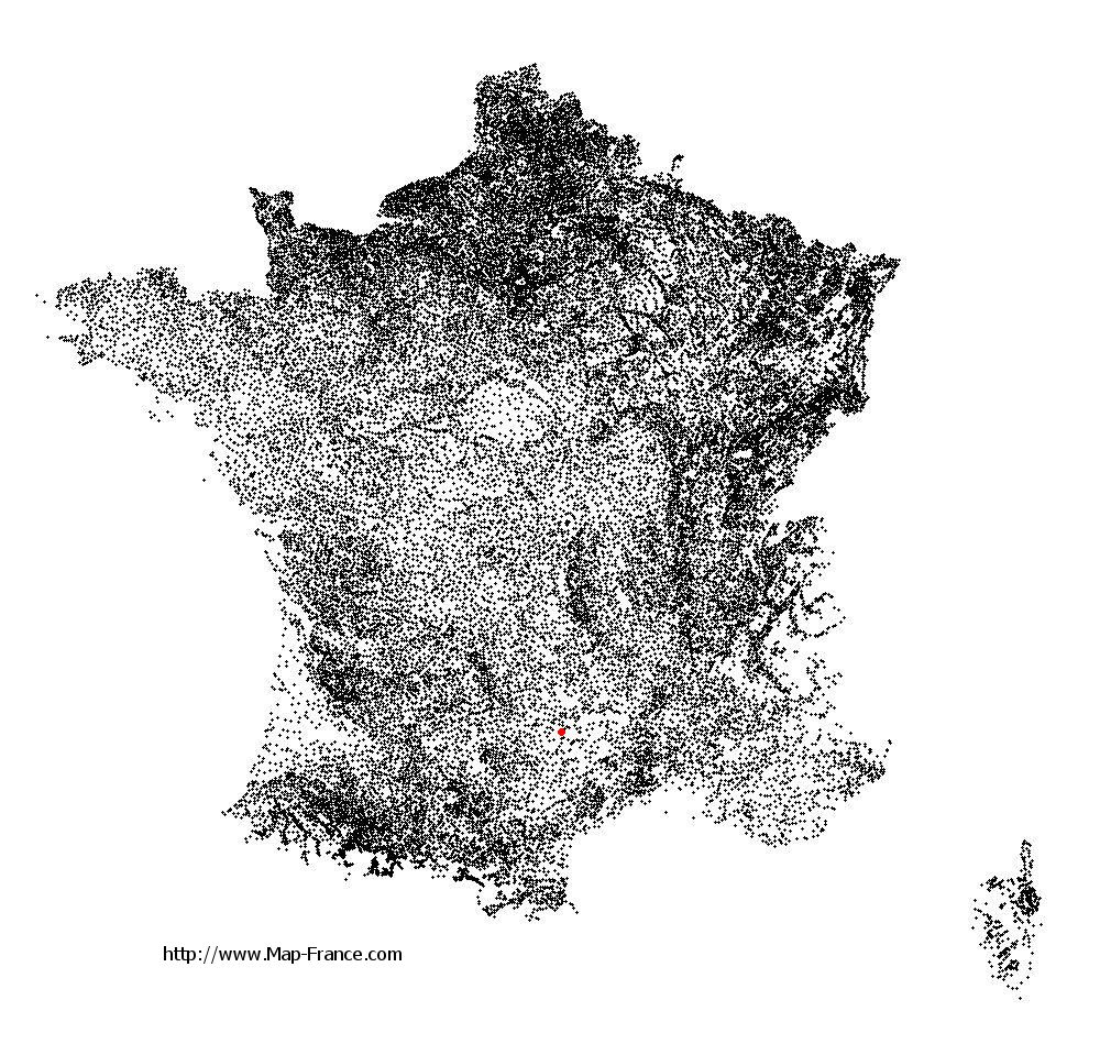
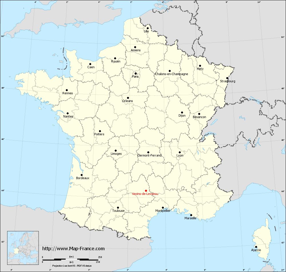
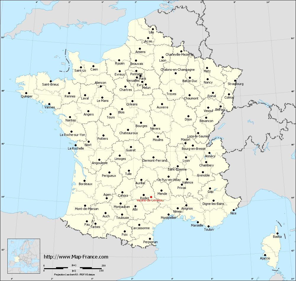
Map of Vézins-de-Lévézou with regions and prefectures
|
View the map of Vézins-de-Lévézou in full screen (1000 x 949)
|
You will find the location of Vézins-de-Lévézou on the map of France of regions in Lambert 93 coordinates. The town of Vézins-de-Lévézou is located in the department of Aveyron of the french region Midi-Pyrénées.
Geographical sexagesimal coordinates / GPS (WGS84):
Latitude: 44° 16' 45'' North
Longitude: 02° 57' 10'' East
Geographical decimal coordinates :
Latitude: 44.278 degrees (44.278° North)
Longitude: 2.953 degrees (2.953° East)
Lambert 93 coordinates :
X: 6 962 hectometers
Y: 63 533 hectometers
Lambert 2 coordinates :
X: 6 492 hectometers
Y: 19 200 hectometers
Below, the geographical coordinates of Rodez, prefecture of the Aveyron department:
Geographical sexagesimal coordinates / GPS (WGS84):
Latitude: 44° 20' 60'' North
Longitude: 02° 34' 27'' East
Geographical decimal coordinates :
Latitude: 44.354 degrees (44.354° North)
Longitude: 2.571 degrees (2.571° East)
Lambert 93 coordinates :
X: 6 661 hectometers
Y: 63 613 hectometers
Lambert 2 coordinates :
X: 6 190 hectometers
Y: 19 277 hectometers
|
This map of Vézins-de-Lévézou is reusable and modifiable by making a link to this page of the Map-France.com website or by using the given code :
|
Map of Vézins-de-Lévézou with departments and prefectures
|
Voir la carte of Vézins-de-Lévézou en grand format (1000 x 949)
|
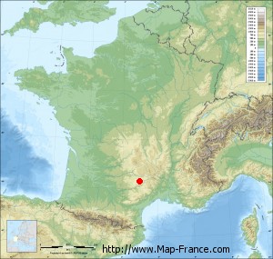
Here is the localization of Vézins-de-Lévézou on the France map of departments in Lambert 93 coordinates. The city of Vézins-de-Lévézou is shown on the map by a red point.
The town of Vézins-de-Lévézou is located in the department of Aveyron of the french region Midi-Pyrénées.
The latitude of Vézins-de-Lévézou is 44.278 degrees North.
The longitude of Vézins-de-Lévézou is 2.953 degrees East.
Here the distance between Vézins-de-Lévézou and the biggest cities of France:
Distances are calculated as the crow flies (orthodromic distance)
Distance between Vézins-de-Lévézou and Paris : 511.24 kilometers
Distance between Vézins-de-Lévézou and Marseille : 224.46 kilometers
Distance between Vézins-de-Lévézou and Lyon : 221.21 kilometers
Distance between Vézins-de-Lévézou and Toulouse : 141.87 kilometers
Distance between Vézins-de-Lévézou and Nice : 350.24 kilometers
Distance between Vézins-de-Lévézou and Nantes : 478.23 kilometers
Distance between Vézins-de-Lévézou and Strasbourg : 603.21 kilometers
Distance between Vézins-de-Lévézou and Montpellier : 104.71 kilometers
Distance between Vézins-de-Lévézou and Bordeaux : 286.21 kilometers
Distance between Vézins-de-Lévézou and Lille : 705.53 kilometers
Distance between Vézins-de-Lévézou and Rennes : 554.77 kilometers
Distance between Vézins-de-Lévézou and Reims : 559.32 kilometers
Clic here to see the map of Vézins-de-Lévézou in full screen:
Vézins-de-Lévézou on the map of french departments
|
This administrative map of Vézins-de-Lévézou is reusable and modifiable by making a link to this page of the Map-France.com website or by using the given code :
|
Administrative base maps of Vézins-de-Lévézou
|
See the administrative base map of Vézins-de-Lévézou in full screen (1000 x 949)
|
Small administrative base map of Vézins-de-Lévézou
|
This base map administrative of Vézins-de-Lévézou is reusable and modifiable by making a link to this page of the Map-France.com website or by using the given code :
|
 French Version : http://www.cartesfrance.fr