Vichères photos
Find a town, a zip code,
a department, a region... in France
I like Map-France.com !
Map of France
Regions
Departments
Cities
Hotels
Directions
Satellite
Weather
Map of France
>
Centre
>
Eure-et-Loir
>
Vichères
>
Photos Vichères
Vichères pictures
Vichères
Hotel
Road map
Map
Photos
Weather
Population
Housing
Here are the
photos of the town of Vichères
and nearby towns. Vichères is located in the department of Eure-et-Loir in the region of Centre. You will find the satellite map of Vichères under these photos.
To see photos of nearby towns of Vichères, you can try the following links :
-
Argenvilliers photos
: town located at 3.32 km
-
Beaumont-les-Autels photos
: town located at 3.70 km
-
La Gaudaine photos
: town located at 4.10 km
-
Souancé-au-Perche photos
: town located at 4.19 km
-
Trizay-Coutretot-Saint-Serge photos
: town located at 4.46 km
-
Béthonvilliers photos
: town located at 5.12 km
-
Coudray-au-Perche photos
: town located at 5.70 km
-
Champrond-en-Perchet photos
: town located at 6.19 km
-
Saint-Jean-Pierre-Fixte photos
: town located at 6.34 km
-
Brunelles photos
: town located at 6.45 km
-
Miermaigne photos
: town located at 6.47 km
-
Thiron-Gardais photos
: town located at 7.59 km
- photos of the department prefecture of Eure-et-Loir :
photos of Chartres
- pictures of others cities of Eure-et-Loir :
Eure-et-Loir
To see Vichères from the sky, here is the satellite map of the town of Vichères :
Vichères map
.
I like Vichères !
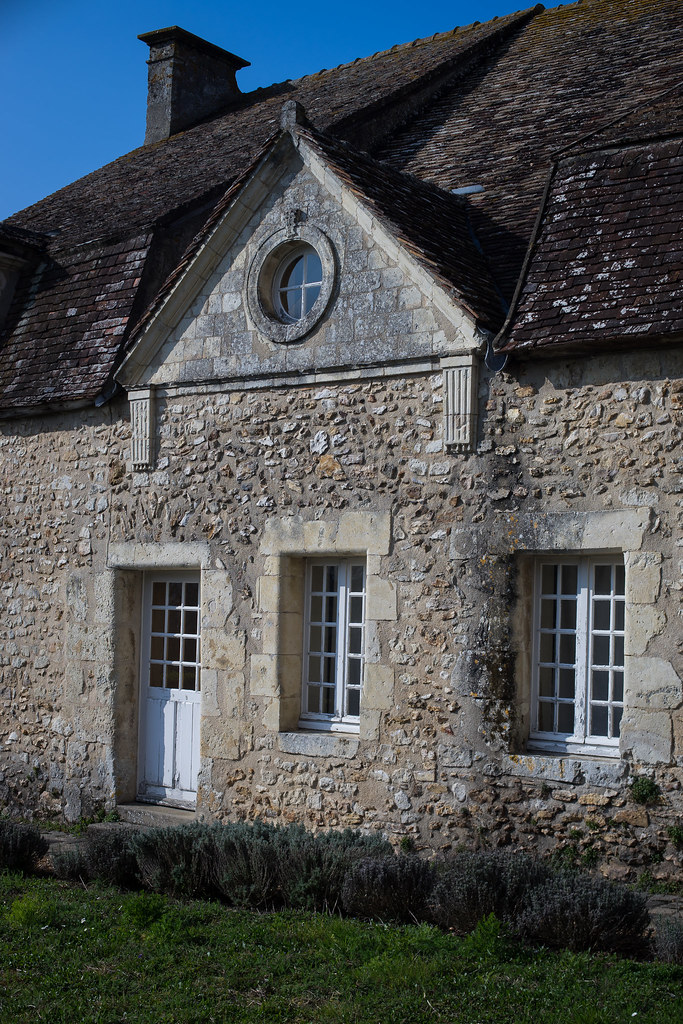
Photos of the town of Vichères
These photos taken near the town of Vichères can be shown in full screen clicking on the thumbnails. Photos are copyrighted by their owners.
Nogent-le-Rotrou (Eure-et-Loir).
Nogent-le-Rotrou (Eure-et-Loir).
Nogent-le-Rotrou (Eure-et-Loir).
Nogent-le-Rotrou (Eure-et-Loir).
Nogent-le-Rotrou (Eure-et-Loir).
Nogent-le-Rotrou (Eure-et-Loir).
Nogent-le-Rotrou (Eure-et-Loir).
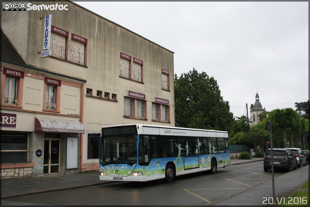
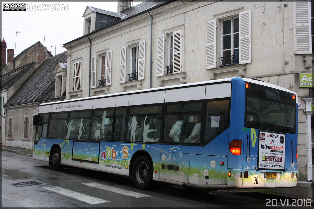
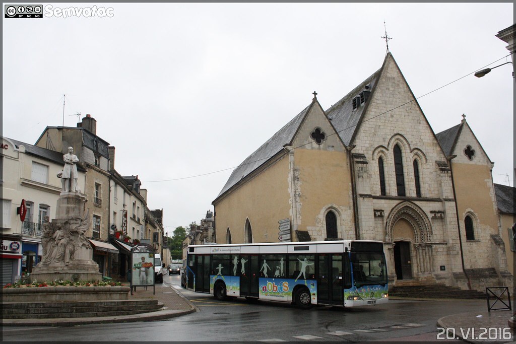
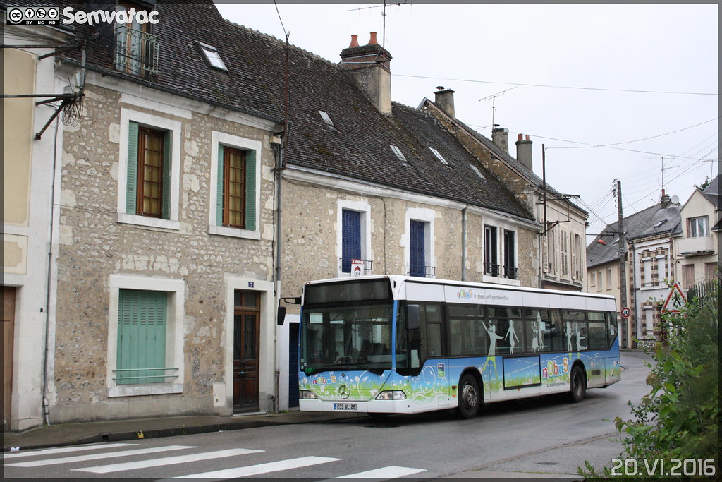
Mercedes-Benz Citaro - TEL (Transport d-Eure-et-Loir) (Transdev) / Nobus n°9001
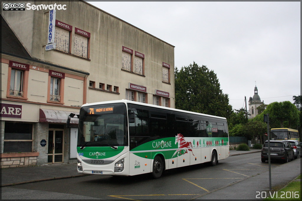
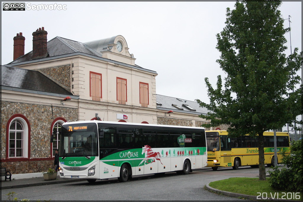
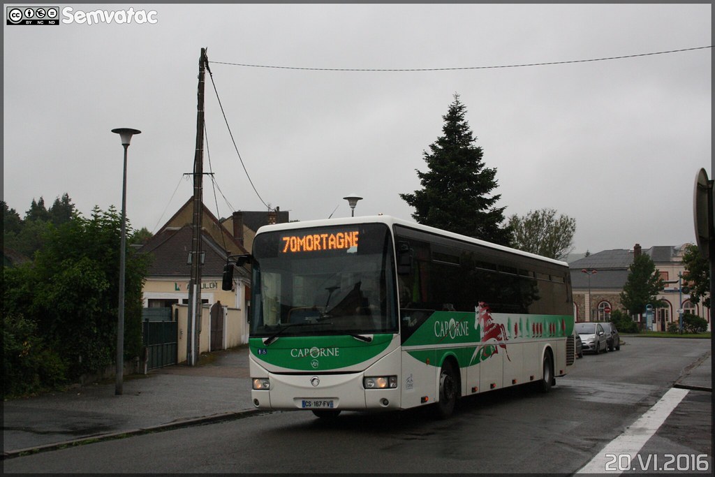
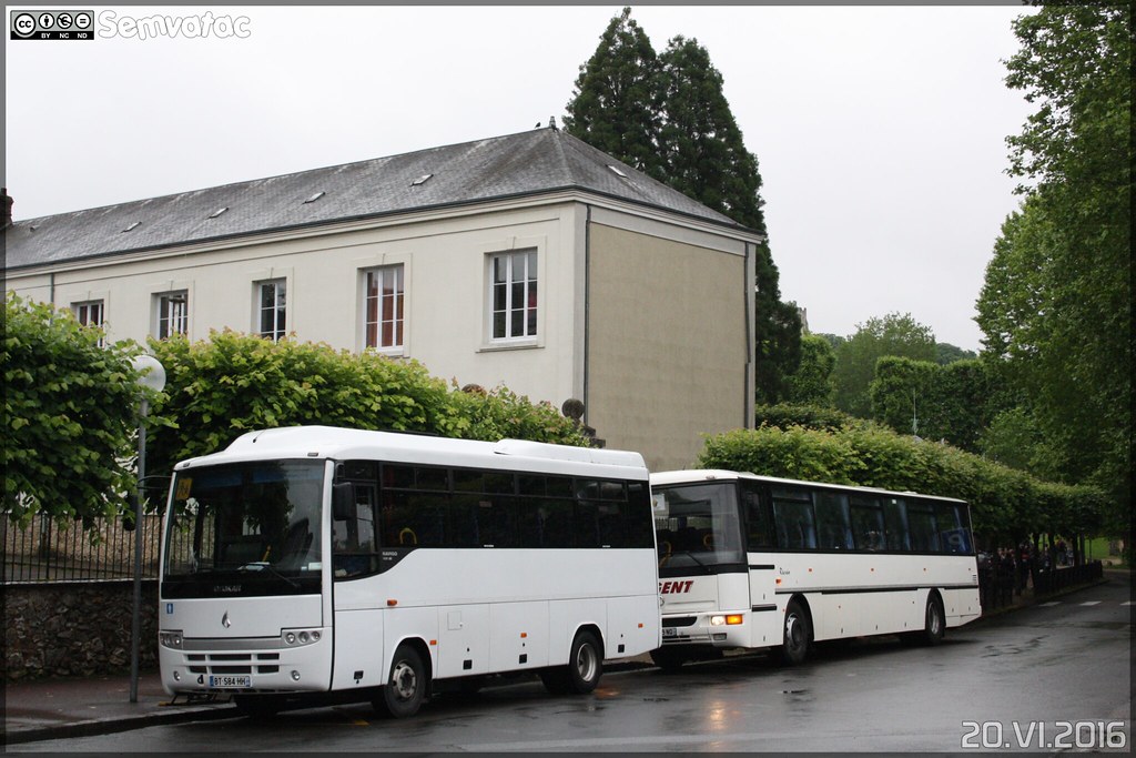
Iveco Bus Crossway - VTNI (Voyages & Transports de Normandie) / Cap Orne
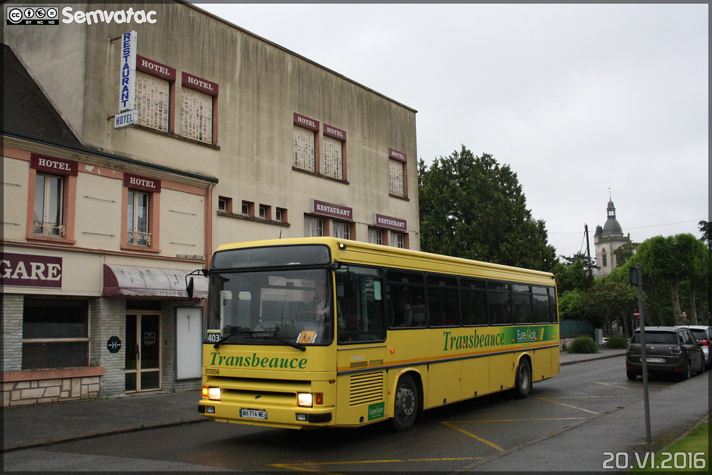
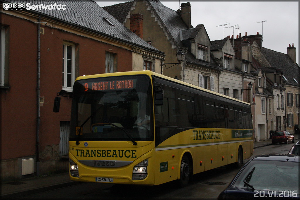
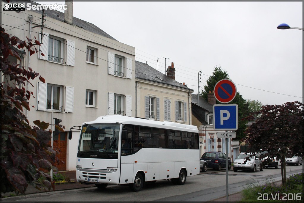
Renault Tracer - Keolis Eure et Loir / Transbeauce n°013056
Iveco Bus Crossway - VTNI (Voyages & Transports de Normandie) / Cap Orne
Iveco Bus Crossway - TEL (Transport d-Eure-et-Loir) (Transdev) / Transbeauce n°23786
Mercedes-Benz Citaro - TEL (Transport d-Eure-et-Loir) (Transdev) / Nobus n°9001
Irisbus Crossway - VTNI (Voyages & Transports de Normandie) / Cap Orne
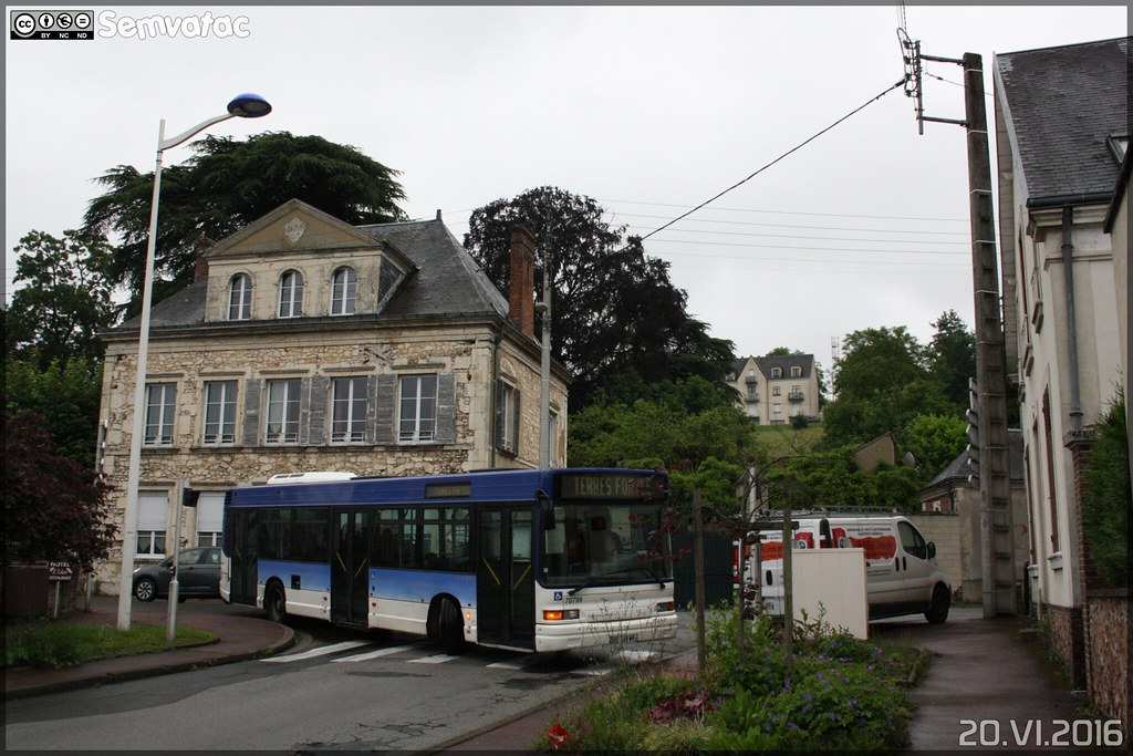
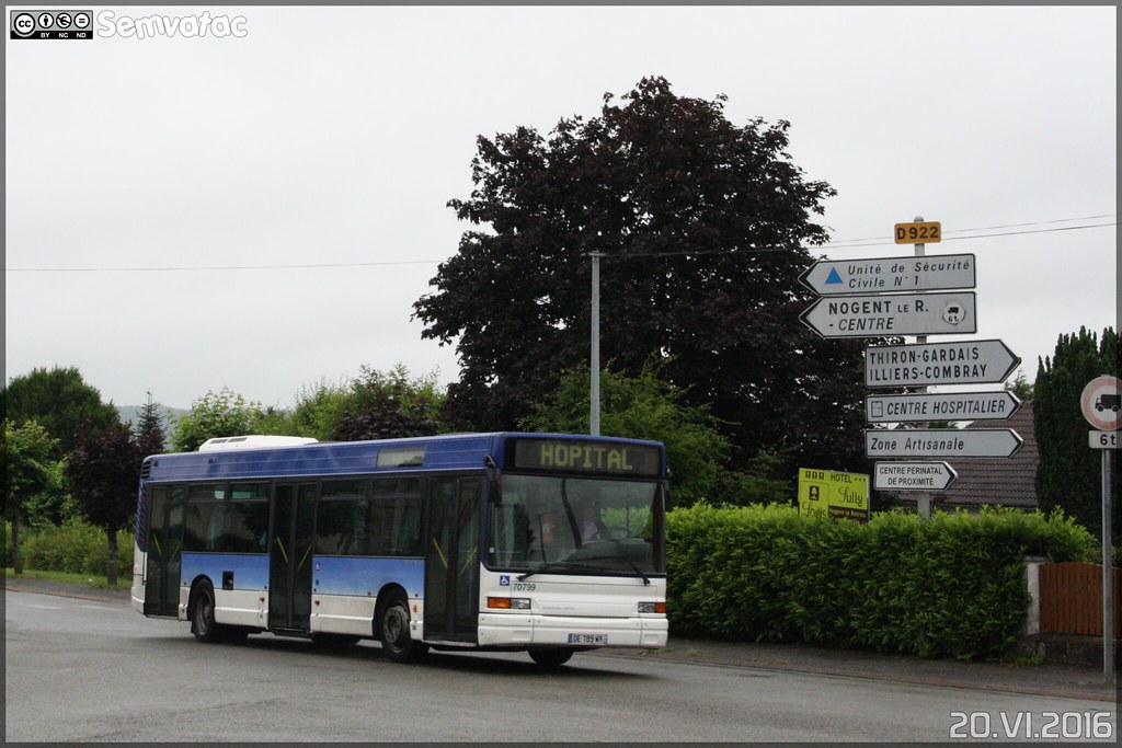
Heuliez Bus GX 317 – TEL (Transport d-Eure-et-Loir) (Transdev) / Nobus n°70799 ex Aéroport Marseille Provence
Otokar Navigo 185 SE - Communauté de Communes du Perche
Otokar Navigo 185 SE - Communauté de Communes du Perche
Mercedes-Benz Citaro - TEL (Transport d-Eure-et-Loir) (Transdev) / Nobus n°9001
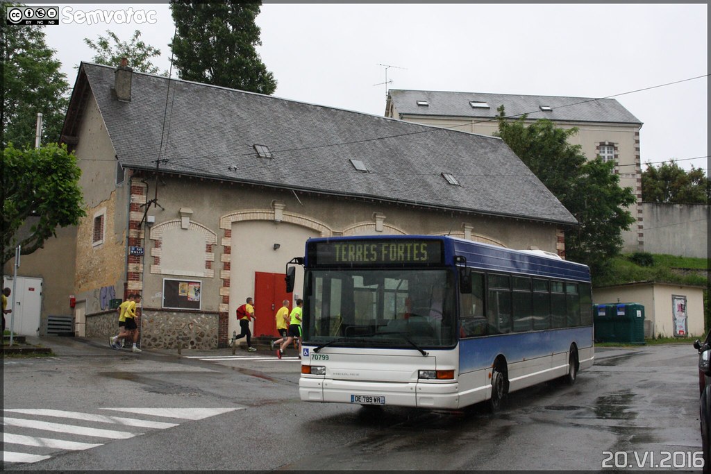
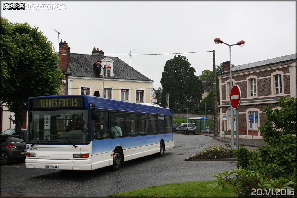
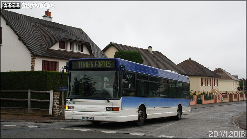
Heuliez Bus GX 317 – TEL (Transport d-Eure-et-Loir) (Transdev) / Nobus n°70799 ex Aéroport Marseille-Provence
Heuliez Bus GX 317 – TEL (Transport d-Eure-et-Loir) (Transdev) / Nobus n°70799 ex Aéroport Marseille-Provence
Heuliez Bus GX 317 – TEL (Transport d-Eure-et-Loir) (Transdev) / Nobus n°70799 ex Aéroport Marseille-Provence
Heuliez Bus GX 317 – TEL (Transport d-Eure-et-Loir) (Transdev) / Nobus n°70799 ex Aéroport Marseille-Provence
Mercedes-Benz Citaro - TEL (Transport d-Eure-et-Loir) (Transdev) / Nobus n°9001
Sans titre (6)
Vichères from the sky
Old photos of the town of Vichères
These photos taken near the town of Vichères can be shown in full screen clicking on the thumbnails. Photos are copyrighted by their owners.
Other maps, hotels and towns in france
Find another town, zip code, department, region, ...
Quick links
Vichères
:
Vichères
Vichères hotels
Vichères hotels map
Vichères road map
Vichères map
Vichères pictures
Vichères weather
Vichères population
Vichères housing
Back to the menus Map of France :
Map of France
>
Centre
>
Eure-et-Loir
>
Vichères
>
Vichères photos
Make a link to this page of Vichères with the following code :
<a href="https://www.map-france.com/Vicheres-28420/photos-Vicheres.html" title="photos of Vichères" />Vichères photos</a>
Map of France
|
Regions
|
Departments
|
Cities
|
Partners
|
Terms
|
Contact