Map of France

Villettes photos


Find a town, a zip code,
a department, a region... in France
I like Map-France.com !


Villettes pictures


Here are the photos of the town of Villettes and nearby towns. Villettes is located in the department of Eure in the region of Haute-Normandie. You will find the satellite map of Villettes under these photos.

To see photos of nearby towns of Villettes, you can try the following links :
   - Feuguerolles photos : town located at 1.94 km
   - Venon photos : town located at 2.79 km
   - Ecquetot photos : town located at 3.35 km
   - Saint-Aubin-d'Écrosville photos : town located at 3.63 km
   - Bérengeville-la-Campagne photos : town located at 4.17 km
   - Canappeville photos : town located at 4.22 km
   - Écauville photos : town located at 4.50 km
   - Quatremare photos : town located at 4.98 km
   - Quittebeuf photos : town located at 5.03 km
   - Daubeuf-la-Campagne photos : town located at 5.07 km
   - Houetteville photos : town located at 5.26 km
   - Marbeuf photos : town located at 5.52 km

 - photos of the department prefecture of Eure : photos of Évreux
 - pictures of others cities of Eure : Eure


To see Villettes from the sky, here is the satellite map of the town of Villettes : Villettes map.

I like Villettes !


Photos of the town of Villettes

These photos taken near the town of Villettes can be shown in full screen clicking on the thumbnails. Photos are copyrighted by their owners.

Kite Aerial Photography in Normandy - Photo of Villettes
Kite Aerial Photography in Normandy

2014-04-02_04-27-21_NEX-6_DSC05010 - Photo of Villettes
2014-04-02_04-27-21_NEX-6_DSC05010

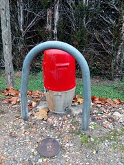
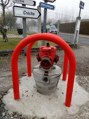
Fire-fighting facility - Photo of Villettes
Fire-fighting facility

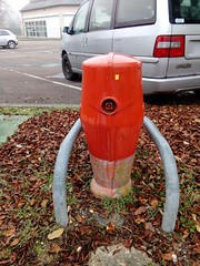
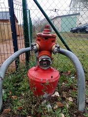
Fire-fighting facility - Photo of Villettes
Fire-fighting facility

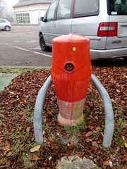
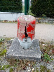
Fire-fighting facility - Photo of Villettes
Fire-fighting facility

Fire-fighting facility - Photo of Villettes
Fire-fighting facility

Fire-fighting facility rte de louviers angle rue des ruisseaux - Photo of Villettes
Fire-fighting facility rte de louviers angle rue des ruisseaux

Fire-fighting facility rte de louviers angle rue Marcel Pagnol - Photo of Villettes
Fire-fighting facility rte de louviers angle rue Marcel Pagnol

Développement du mildiou - Photo of Villettes
Développement du mildiou

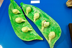
Gousse de pois - Photo of Villettes
Gousse de pois

Gui - Photo of Villettes
Gui

Œillet - Photo of Villettes
Œillet

Champignons - Photo of Villettes
Champignons

Lamier pourpre - Photo of Villettes
Lamier pourpre


Villettes from the sky


Old photos of the town of Villettes

These photos taken near the town of Villettes can be shown in full screen clicking on the thumbnails. Photos are copyrighted by their owners.


Other maps, hotels and towns in france


Find another town, zip code, department, region, ...


Quick links Villettes :


Back to the menus Map of France :


Make a link to this page of Villettes with the following code :


Map of France | Regions | Departments | Cities | Partners | Terms | Contact