Villiers-sur-Marne photos
Find a town, a zip code,
a department, a region... in France
I like Map-France.com !
Map of France
Regions
Departments
Cities
Hotels
Directions
Satellite
Weather
Map of France
>
Île-de-France
>
Val-de-Marne
>
Villiers-sur-Marne
>
Photos Villiers-sur-Marne
Villiers-sur-Marne pictures
Villiers-sur-Marne
Hotel
Road map
Map
Photos
Weather
Population
Housing
Here are the
photos of the city of Villiers-sur-Marne
and nearby towns. Villiers-sur-Marne is located in the department of Val-de-Marne in the region of Île-de-France. You will find the satellite map of Villiers-sur-Marne under these photos.
To see photos of nearby towns of Villiers-sur-Marne, you can try the following links :
-
Noisy-le-Grand photos
: town located at 2.34 km
-
Bry-sur-Marne photos
: town located at 2.47 km
-
Le Plessis-Trévise photos
: town located at 2.56 km
-
Champigny-sur-Marne photos
: town located at 2.91 km
-
Le Perreux-sur-Marne photos
: town located at 3.07 km
-
Chennevières-sur-Marne photos
: town located at 3.37 km
-
Neuilly-sur-Marne photos
: town located at 3.38 km
-
Gournay-sur-Marne photos
: town located at 4.05 km
-
Saint-Maur-des-Fossés photos
: town located at 4.39 km
-
Ormesson-sur-Marne photos
: town located at 4.48 km
-
Nogent-sur-Marne photos
: town located at 4.51 km
-
Neuilly-Plaisance photos
: town located at 4.78 km
- photos of the department prefecture of Val-de-Marne :
photos of Créteil
- pictures of others cities of Val-de-Marne :
Val-de-Marne
To see Villiers-sur-Marne from the sky, here is the satellite map of the city of Villiers-sur-Marne :
Villiers-sur-Marne map
.
I like Villiers-sur-Marne !
Photos of the city of Villiers-sur-Marne
These photos taken near the city of Villiers-sur-Marne can be shown in full screen clicking on the thumbnails. Photos are copyrighted by their owners.
Heuliez Bus GX 337 GNV – RATP (Régie Autonome des Transports Parisiens) / Île de France Mobilités n°2853
RATP LIGNE 11 METRO STATION ROSNY-BOIS-PERRIER
Irisbus Citélis Line – RATP (Régie Autonome des Transports Parisiens) / STIF (Syndicat des Transports d-Île-de-France) n°3142
Irisbus Citélis Line – RATP (Régie Autonome des Transports Parisiens) / STIF (Syndicat des Transports d-Île-de-France) n°3499
Man NL 223 – RATP (Régie Autonome des Transports Parisiens) / STIF (Syndicat des Transports d-Île-de-France) n°9160
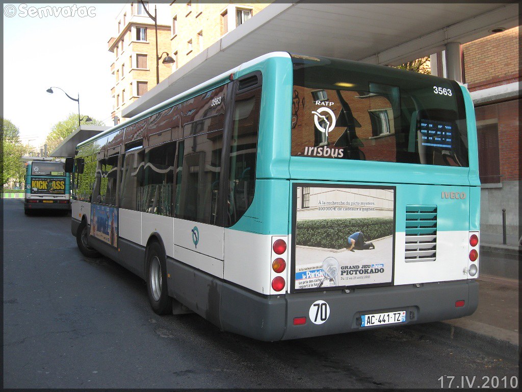
Irisbus Citélis Line – RATP (Régie Autonome des Transports Parisiens) / STIF (Syndicat des Transports d-Île-de-France) n°3563
Man NL 223 – RATP (Régie Autonome des Transports Parisiens) / STIF (Syndicat des Transports d-Île-de-France) n°9160
BKA i Paris 2015 - COP21
Irisbus Citélis 18 – RATP (Régie Autonome des Transports Parisiens) / STIF (Syndicat des Transports d-Île-de-France) n°1832
Irisbus Citélis 18 – RATP (Régie Autonome des Transports Parisiens) / STIF (Syndicat des Transports d-Île-de-France) n°1832
Paris Métro Coteaux Beauclair station
Paris Métro Coteaux Beauclair station
Paris Métro Ligne 3bis
Paris Métro Coteaux Beauclair station
Villiers-sur-Marne from the sky
Old photos of the city of Villiers-sur-Marne
These photos taken near the city of Villiers-sur-Marne can be shown in full screen clicking on the thumbnails. Photos are copyrighted by their owners.
Other maps, hotels and towns in france
Find another town, zip code, department, region, ...
Quick links
Villiers-sur-Marne
:
Villiers-sur-Marne
Villiers-sur-Marne hotels
Villiers-sur-Marne hotels map
Villiers-sur-Marne road map
Villiers-sur-Marne map
Villiers-sur-Marne pictures
Villiers-sur-Marne weather
Villiers-sur-Marne population
Villiers-sur-Marne housing
Back to the menus Map of France :
Map of France
>
Île-de-France
>
Val-de-Marne
>
Villiers-sur-Marne
>
Villiers-sur-Marne photos
Make a link to this page of Villiers-sur-Marne with the following code :
<a href="https://www.map-france.com/Villiers-sur-Marne-94350/photos-Villiers-sur-Marne.html" title="photos of Villiers-sur-Marne" />Villiers-sur-Marne photos</a>
Map of France
|
Regions
|
Departments
|
Cities
|
Partners
|
Terms
|
Contact