|
|
|
|
|
|
Department of Hautes-Alpes - 05
|
|
Department of Hautes-Alpes
|
The department is the second level of administrative divisions on the map of France.
The department of Hautes-Alpes is located in the region of region of Provence-Alpes-Côte d'Azur.
The department of Hautes-Alpes has the number 05 and is divided into 2 districts , 30 townships and 177 municipalities. Below you will find the localization of Hautes-Alpes on the map of France, and the satellite map of Hautes-Alpes.
|
Population of Hautes-Alpes |
Inhabitants of Hautes-Alpes were 121 419 in the 1999 census and 130 752 in the 2006 census. Area of departement of Hautes-Alpes is 5 548,68 km ². Population density of Hautes-Alpes is 23,56 inhabitants per km².
Biggest cities of department of Hautes-Alpes, in number of inhabitants, are (2007 census):
Gap, Briançon, Embrun, Laragne-Montéglin, Veynes, Chorges, L'Argentière-la-Bessée, Guillestre, La Bâtie-Neuve, Tallard, Saint-Chaffrey, Saint-Bonnet-en-Champsaur, Villar-Saint-Pancrace, Serres, La Roche-des-Arnauds, La Saulce, Savines-le-Lac, Saint-Martin-de-Queyrières.
You will find the towns list of Hautes-Alpes in the bottom on this page. You can consult the map of France, pictures, hotels, and all data of every town and village in the department of Hautes-Alpes clicking on these towns links.
|
|
|
I like the department of
Hautes-Alpes !
|
|
|
|
|
|
|
|
|
Statistics of department of Hautes-Alpes |
| Population 1999 |
121 419 inhabitants |
|
| Population 2006 |
130 752 inhabitants |
|
| Area |
5 548.68 km ² |
|
| Population density |
23.56 inhabs/km²
|

|
| Variation of density |
+1.06 %/year |

|
| |
|
|
Administration of department of Hautes-Alpes |
| Number |
05 |
|
| Prefecture |
Gap |
|
| Subprefectures |
Briançon |

|
| Region |
Provence-Alpes-Côte d'Azur (93) |

|
| |
|
|
Subdivisions of the department of Hautes-Alpes |
| Districts |
2 |
|
| Townships |
30 |
|
| Municipalities |
177 |
|
|
Hotel Hautes-Alpes
|
Book now ! Best Price Guaranteed, no booking fees, pay at the hotel with our partner Booking.com, leader in online hotel reservation.
| |
|
Hotel Briançon
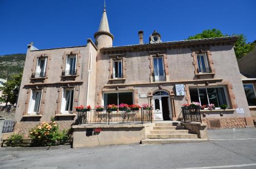
Hôtel Edelweiss
 

A traditional residence from the end of the 19th century, the Hotel Edelweiss is 200 metres from a free shuttle bus, which drives the 1 km to Serre Chevalier ski slopes and Monetier-les-B...
Rate : from 69.00 € to 99.00 €
Address : 32 Avenue De La République 05100 Briançon
|
|
|
Hotel Briançon
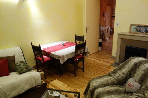
Appartement cosy montagne, centre ville de Briançon

Offering free WiFi and mountain views, Appartement cosy montagne, centre ville de Briançon is an accommodation set in Briançon, just 700 metres from Serre Chevalier Briançon Ski School...
Price : from 0.00 € to 0.00 €
Contact : 24 rue Centrale 05100 Briançon
|
|
|
Hotel Gap
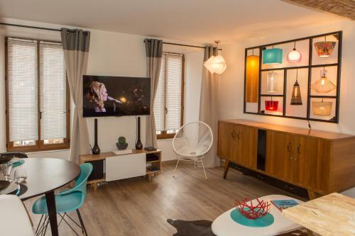
T2 centre ville clim et parking
T2 Climatisé Vintage Beau Soleil offers accommodation in Gap. The air-conditioned apartment is 47 km from Pra-Loup. Free WiFi is available .
The kitchen is equipped with a dishwasher, a...
Prices : from 0.00 € to 0.00 €
Contact : 8 rue Grenette 05000 Gap
|
|
|
Hotel Gap
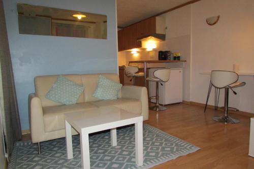
Studio Rue De La Cathédrale
Located in Gap, this apartment is 47 km from Pra-Loup. The unit is 48 km from Vars.
There is a dining area and a kitchen complete with a microwave and a toaster. Towels and bed linen are...
Rate : from 45.00 € to 45.00 €
Contact : 6 Rue de la Cathédrale 05000 Gap
|
|
|
Map of Hautes-Alpes
MAP OF THE HAUTES-ALPES DEPARTMENT
|
Where is located the Hautes-Alpes department ?
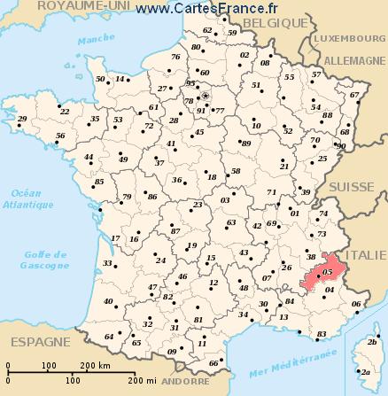
The department of Hautes-Alpes is located in the region of Provence-Alpes-Côte d'Azur. Hautes-Alpes is in red on the map of french departments.
What are the statistics and key data of Hautes-Alpes ?
The department of Hautes-Alpes has the number 05. It is composed of 2 districts ("arrondissements") , 30 townships ("cantons") and 177 towns ("communes").
The 2 districts of the department of Hautes-Alpes are :
Briançon, Gap.
The inhabitants of of Hautes-Alpes were 121 419 in 1999 and 130 752 in 2006.
The area of the department of Hautes-Alpes is 5 548,68 km ². Population density of the department of Hautes-Alpes is 23,56 inhabitants per km².
What are the largest cities of the department of Hautes-Alpes ?
The largest cities of the department of Hautes-Alpes (compared to the number of inhabitants in 2007) are :
Gap, Briançon, Embrun, Laragne-Montéglin, Veynes, Chorges, L'Argentière-la-Bessée, Guillestre, La Bâtie-Neuve, Tallard, Saint-Chaffrey, Saint-Bonnet-en-Champsaur, Villar-Saint-Pancrace, Serres, La Roche-des-Arnauds, La Saulce, Savines-le-Lac, Saint-Martin-de-Queyrières.
Interactive map of the Hautes-Alpes department
You can zoom the satellite map of Hautes-Alpes to see a village or a city, for example Gap.
Search a town of departement of Hautes-Alpes
|
|
|
|
|
|
Records of the Hautes-Alpes department: Did you know ?
The town with the longest name of the department of Hautes-Alpes is: Saint-Jacques-en-Valgodemard
The town with the shortest name of the department of Hautes-Alpes is: Gap
The municipality with the highest altitude of the department of Hautes-Alpes is: Château-Ville-Vieille with 2255 m
The municipality with the lowest altitude of the department of Hautes-Alpes is: Ribiers with 510 m
The municipality with the largest area of the department of Hautes-Alpes is: Névache with 191.93 km ²
The municipality with the smallest area of the department of Hautes-Alpes is: Mont-Dauphin with 0.58 km ² |
Towns list of the Hautes-Alpes department
Follow the links of towns and cities of the Hautes-Alpes department and see photos, maps, and informations for these towns.
|
List of french departments
|
Other departments, regions, maps, hotels and towns in france
Find another town, zip code, department, region, ...
Back to the menus Map of France :
Make a link to this pageVitrolles with the following code :
|
Find a town in France by clicking on the following interactives maps :
|
Map of french regions
|
Map of french departments
|
|
Map of France | Regions | Departments | Cities | Partners | Terms | Contact
 French version : Hautes-Alpes | Carte de France French version : Hautes-Alpes | Carte de France
|

 French version : Hautes-Alpes | Carte de France


